2/21 – The Chief’s “Much Warmer Temperatures Ahead” Mid-Week Morning Forecast
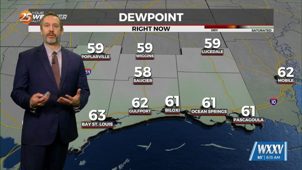
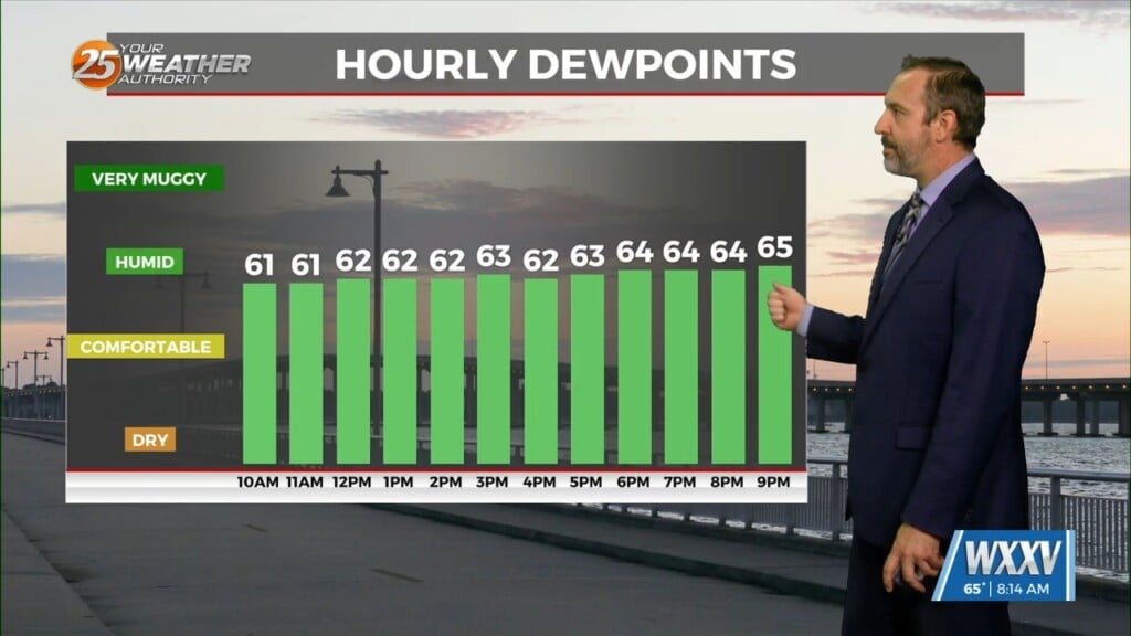
DENSE FOG ADVISORY in effect through mid-morning…
High pressure extends northward from Mexico through the Plains States with upper level weakness off the Carolina and southern California coasts. At the surface, the axis of high pressure extended from New England southwestward to the eastern Gulf of Mexico.
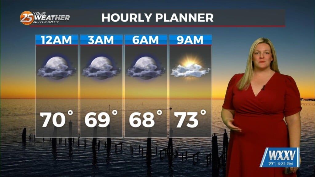
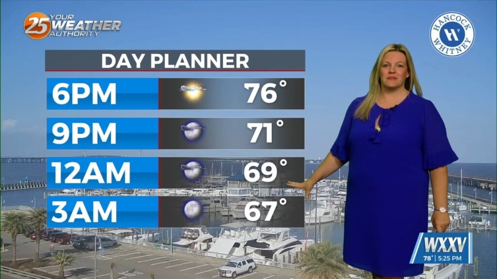
While the high pressure over Mexico isn’t going anywhere, the California weakness will lift northeastward over the top of the high pressure, through the Rockies and central Plains States over the next 36 hours and be in the Ohio Valley Thursday night. As we get more solidly in a warm advection pattern later today and tonight there will be at least a minor threat of advection fog, but at this time it appears that winds may be strong enough overnight tonight to just produce low clouds late tonight and Thursday. By sunset Thursday, low pressure will be over Ohio with a cold front into northwest Louisiana and eastern Texas. Moisture in advance of the front is rather sparse, with a fair amount of cloud cover on Thursday in a breezy warm advection pattern.
The cold front will move through the area overnight Thursday night and should be exiting the coastal waters early Friday morning. I don’t expect much more than scattered showers in advance of the front overnight with fairly rapid clearing Friday morning. High pressure will once again take hold through the final weekend of February.


