2/19 – Trey’s “High Pressure Reigns” Monday Night Forecast
Meteorologist Trey Tonnessen
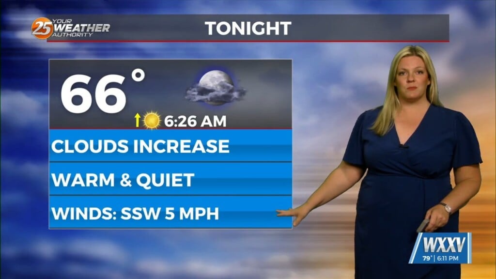
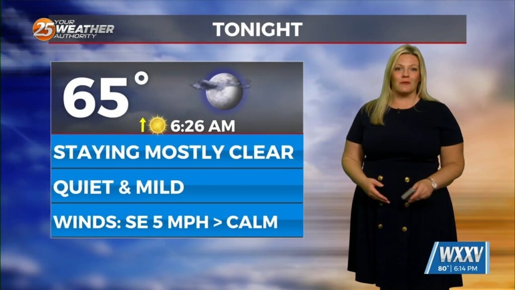
We are on the backside of a trough and expecting an incoming ridge that is located generally over the Rockies this afternoon. At the surface we have high pressure over the eastern US down into the Gulf Of Mexico. Under the influence of the ridge we will have clear skies and very moderate temperatures, perhaps ten degrees above normal. Winds will be light and variable until the next 24-48 hours are over. By late Wednesday night we will see the high pressure moving slightly east resulting in winds adjusting to southerly and perhaps up to 10mph.
A broad longwave trough axis will dive into the eastern half of the CONUS from Thursday into Friday. As this trough deepens, an associated surface cold front will sweep through the forecast area Thursday night. This front will be largely moisture starved as it moves through the area, and do not expect to see much more than passing clouds over the vast majority of the forecast area. However, as the front moves over the Gulf waters, enough low level moisture should be in place to produce isolated light rain showers late Thursday night into early Friday morning. In the wake of the front, dry air advection and increasing upper level subsidence will bring clear skies and low humidity back to the region from Friday afternoon through Sunday night.
As always: A cloudy day is no match for a sunny disposition. Be nice to each other.
- Meteorologist Trey Tonnessen


