10/12 – Trey’s “Cloudy But Better” Noon Forecast
Meteorologist Trey Tonnessen
The low pressure that brought some measurable rainfall across the
region yesterday as well as some gusty winds will continue to move
downstream today. In the wake of the system, low level pressure
field is breaking down allowing for winds to become lighter from
west to east. Aloft, the parent wave will also continue downstream
fairly rapidly in the active southwesterly flow aloft. In the wake
of this feature, upper ridging will take shape through most of
the short term period. Although the upper levels dry, there will
remain a weak residual stationary front to our south. Also, low
level pressure field is still cyclonic, so that in mind think it
will be tough to rid the eastern tier of cloud cover quickly. West
of I55, more insolation is anticipated so these areas are where
the warmer temperatures will be found today with the coolest over
the Mississippi Gulf Coast where low stratus may linger.

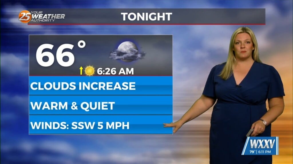
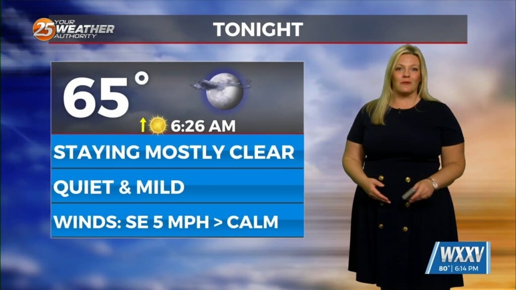
Tonight, additional low stratus is likely to develop especially
where we do clear and where we got just shy of 2.0" of rain
yesterday. Assuming there is some residual low level moisture/wet
soils around, some radiational fog will develop as skies clear
and winds go to near calm. At this juncture, think the best
potential will be from McComb southward to Livingston and on south
from there to Houma and points west. Added mostly patchy fog for
now, but some locally dense fog cannot be ruled out in the more
fog favored locations.

Friday will start at least a brief warming trend again as upper
heights/thicknesses continue to modestly increase. Temperatures
out west may even approach 90 degrees along the Atchafalaya.
Otherwise, sunny conditions should replace the cloud cover across
the eastern tier for a bright end to the workweek.


