7/4 – The Chief’s “Independence Day” Tuesday Morning Forecast
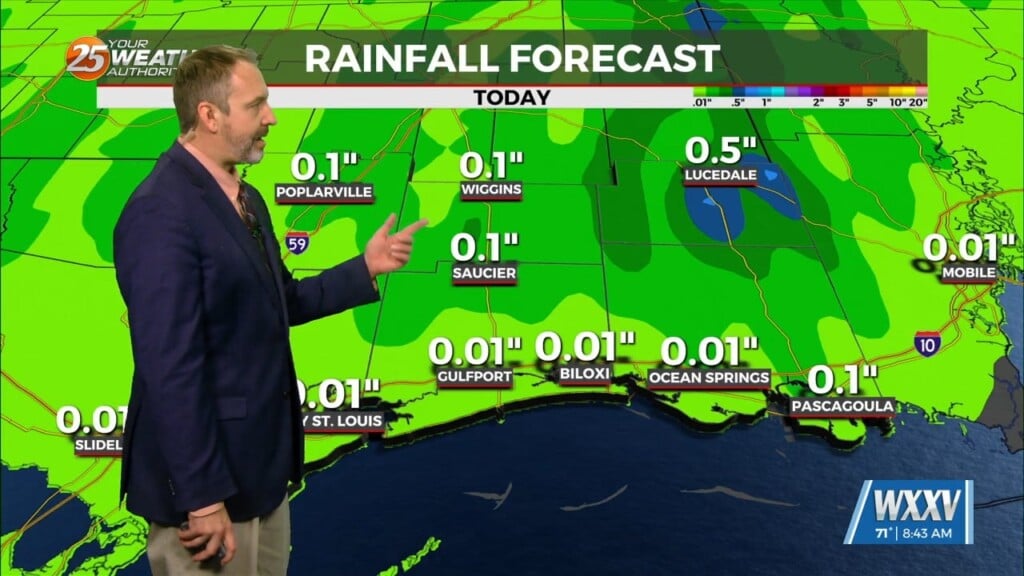
Happy Independence Day! Scattered showers and an occasional rumble of thunder have developed across the area this morning moving to the NE. While rather isolated in coverage at the moment, trends are pointing towards a continued increase in that coverage as the morning continues. Isolated activity will continue this afternoon but rain chances will drop off to 30%. A Low pressure system is to the Northwest while high pressure remains in the Gulf of Mexico. Rain chances are definitely on the increase today as a surge of moisture is coming in from the Gulf of Mexico and will aid in development. Not much of a change for tomorrow as rain chances will remain elevated, especially during the afternoon hours.
By Thursday impulses are going to move through keeping rain chances elevated through the end of the workweek. As for the weekend and into early next week, we unfortunately return to drier conditions and higher afternoon temperatures as high pressure moves closer to the area. Heat will be a concern once again this weekend as we will likely return to advisory level heat indices as early as Saturday.


