3/27 – Brittany’s “Temporarily Rain Free” Monday Evening Forecast
Overall…A weak and diffuse boundary is draped across the local area near the coast. A fast-moving shortwave currently located near the four corners region will progress eastward overnight forcing a cold front through the area tomorrow. The front will pass through the local area by tomorrow evening, ushering in a brief respite from the heat.
In a little more detail…Isolated showers are currently focused along the boundary near the coast. Still believe most of this activity will wane by evening as the airmass becomes slightly less supportive of convection. However, most of the CAMs suggest that a burst of showers and storms could fire up around the Baton Rouge area by about 00z, moving eastward along the current boundary before dissipating. The specifics in exactly where and when those storms might fire and move is a little questionable, but it seems plausible enough to carry a chance of showers along the boundary into the evening.
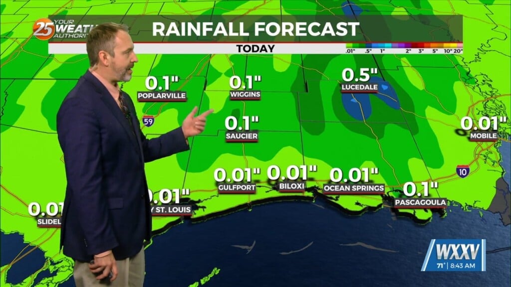
The real action looks to get started after midnight as the shortwave kicks the front into motion again. Expect showers and storms to fire over western portions of the area before daybreak and spread eastward as the front sinks southeastward. Timing wise, this could make for a messy commute tomorrow morning, especially since some of these storms will be capable of producing heavy rain, leading to lower visibility along area roadways and possibly ponding of water in low lying and poor drainage areas. WPC continues to carry a marginal risk of excessive rainfall, and this seems warranted.
Regarding potential for severe weather, the parameters will be similar to today with continued speed shear and steep lapse rates in the mid levels. Thus, while severe weather doesn`t look likely, it can`t be ruled out that one or two storms could become stronger or severe, producing large hail or damaging wind gusts.
Once the front moves through, cold air advection will result in a cooler night Tuesday night. Clouds look to hang around, so it won`t be an ideal set up for radiative cooling, but the cold air advection alone should help cool things off into the upper 40s to mid 50s north and into the mid to upper 50s south.


