2/21 – Brittany’s “Mild & Warm” Tuesday Night Forecast
Well-above normal temperatures continue as we close out Mardi Gras with high temperatures in the low 80s across much of the area. Low stratus that developed overnight and held low temperatures in the mid to upper 60s effectively broke out into shallow cu by mid-afternoon allowing temperatures to climb. Much of the same can be expected tomorrow as temperatures reach the 80s once more, nearing record highs at some locations
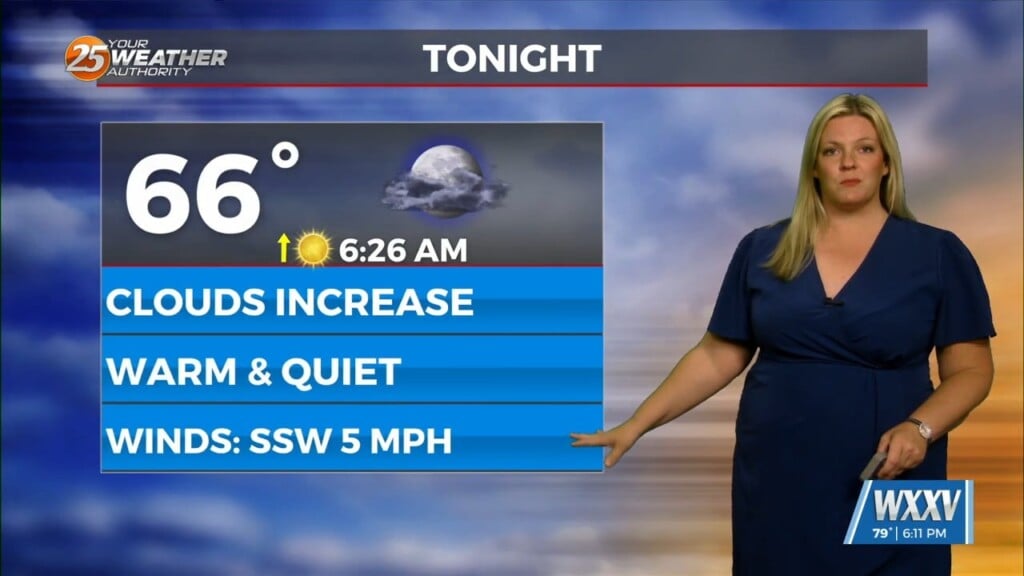
Tonight, temperatures will only gradually cool as low stratus redevelops and moves inland from the coastal areas and elevated dew point temperatures insulate the surface. Winds will also not decrease much as the pressure gradient begins to tighten due to the passing surface low across the central plains. This will keep the boundary layer mixed sufficiently to limit fog development to just localized areas offshore. By morning, the stratus will begin to break up allowing more efficient surface heating. Doing so will enhance mixing down of stronger winds located just above the surface leading to gusty conditions
Winds will gradually decrease Wednesday night as the surface low continues off to the northeast and the pressure gradient weakens. Moisture content will remain elevated with no frontal passages anticipated with this low and this will set up for yet another night of low stratus, but fog development could be more prevalent as winds decrease.


