2/15 – Brittany’s “Cool & Breezy” Wednesday Night Forecast
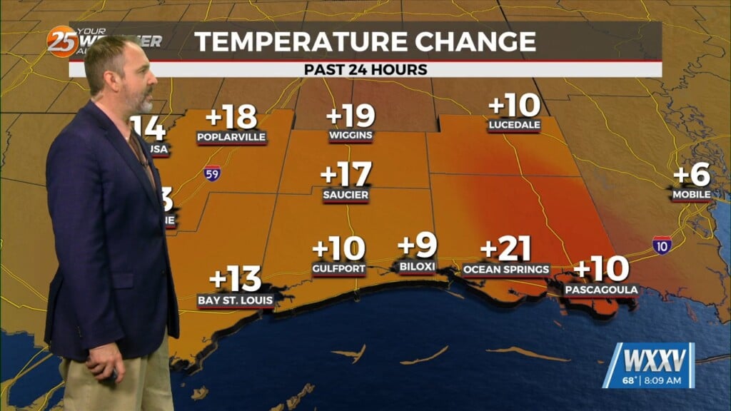
Warm and moist air advection continues as we stay ahead of the trough over southern Colorado. The advection as well as isentropic lift has created some showers across the northern half of the area. This should continue until tonight when the temperatures starts to cool down. Tomorrow, however, will be the main concern in the short-term period. We will see the potential for severe weather in the area in association with an approaching cold front.
The previously mentioned warm and moist air advection that has been taking place over the past few days will pave the way for some rather soupy surface conditions. The upper 70s highs paired with dewpoints in the low 70s will prime the environment with rich low level moisture.
The cold front should exit the area early Friday morning, bringing all of the showers and thunderstorms with it. Cold air advection takes over and the weekend will be calmer and cooler. The long term has largely remained unchanged, plus the main focus of the forecast has been the severe weather tomorrow, so the previous discussion is still valid: The next system could be seen by mid next week and at the moment, it looks like a line of sh/ts with a slight chance of getting a strong or severe ts along the frontal boundary but this is for next Wed. so any details that we could give at this point would just be conjecture.


