12/29 – Rob Knight’s End of Year Forecast
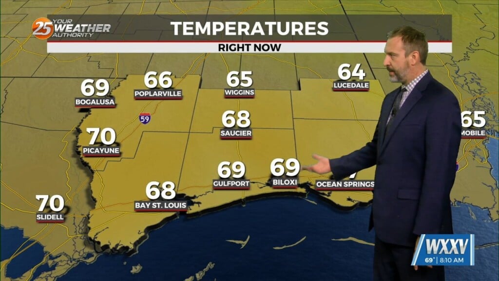
Today and Wednesday will definitely be the transition days as we continue to moderate. Moisture will slowly increase today, but much more tonight as we move under ever increasing southwest flow aloft with our system digging into northern Mexico. We could even see a few overnight showers start as early as overnight Tuesday but more likely Wednesday.
By Thursday morning the mid-level system should be near or south of the TX Big Bend region. As the system moves east, showers and a few t-storms will be possible though the day. The brunt of activity should begin moving into the area after sunset and through very early Friday morning.
The area is under a “SLIGHT” threat for severity with the main threat being STRONG WINDS and TORNADIC ACTIVITY.
The window for the severe threat looks to be late evening through 3 AM Friday morning. Once the system clears the area, skies will clear by Friday afternoon as the colder air mass begins moving in. The weekend will bring dry conditions and cold temperatures.


Leave a Reply