08/20 – Rob Knight’s “Scattered Storms” Thursday Morning Forecast
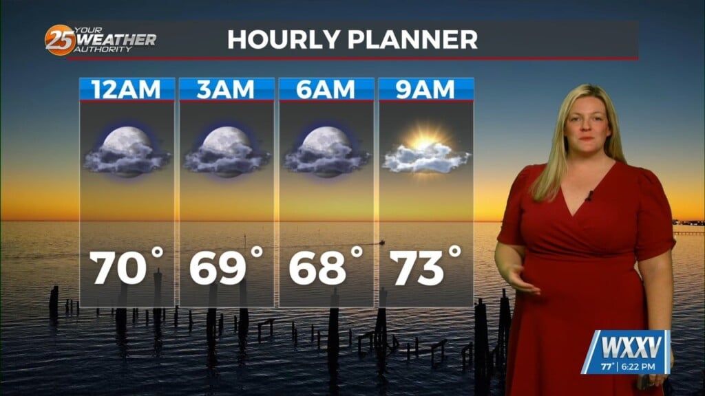
The stationary front in the area brought overnight showers/t-storms to south Mississippi will continue to be a focal point for activity through Friday. The weak upper low-pressure over Mississippi on Friday begins to shear out over the weekend.
The airmass remains unseasonably dry on Saturday, so I don’t anticipate much more than scattered afternoon convection. Beyond Saturday, onshore flow will return moisture to the area with the atmosphere becoming very saturated Sunday afternoon through the rest of the forecast period.
This will mean an increased amount of shower and thunderstorm development from Sunday onward with rain chances in the 40-70 percent range, especially south of the Interstate 10 corridors. Heavy rain threat will likely increase during that time. Details of forecast pattern beyond the weekend will be dependent on eventual tracks of tropical activity currently over the Atlantic (TD 13) and Caribbean (Invest 97L).


Leave a Reply