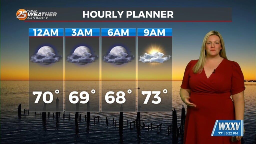
9/19 – Brittany’s “Hot” Monday Evening Forecast
A strong mid-level ridge will expand eastward and a drier air mass is advected around its periphery from southern Appalachians. This will suppress convective development through the week as much drier low- levels inhibit cu development and aid in much warmer high temperatures into the low 90s.
For this first couple days of this forecast period, the upper level ridge will dominate the forecast. After expanding across the southern US early in the week, it should still be centered across TX. An upper level trough looks to clip the Great Lakes and Northeast mid week. It`ll cause the eastern side of the ridge to erode. For these forecast days, that`ll have no impact on the temps. Relatively low dewpoints and 500MB heights still quite expanded will however, yield near record highs. In fact, model soundings show the mixed layer reaches up to around 700mb. With the surface low centered just NW of the CWA, surface winds should be light but north to northwesterly. In that environment, overachieving temps are common. Therefore, forecast highs for Wed and Thur are a bit above MAV and even higher than the deterministic NBM.


