9/24 – Chris’s “Elevated Rain Chances” Sunday Night Forecast
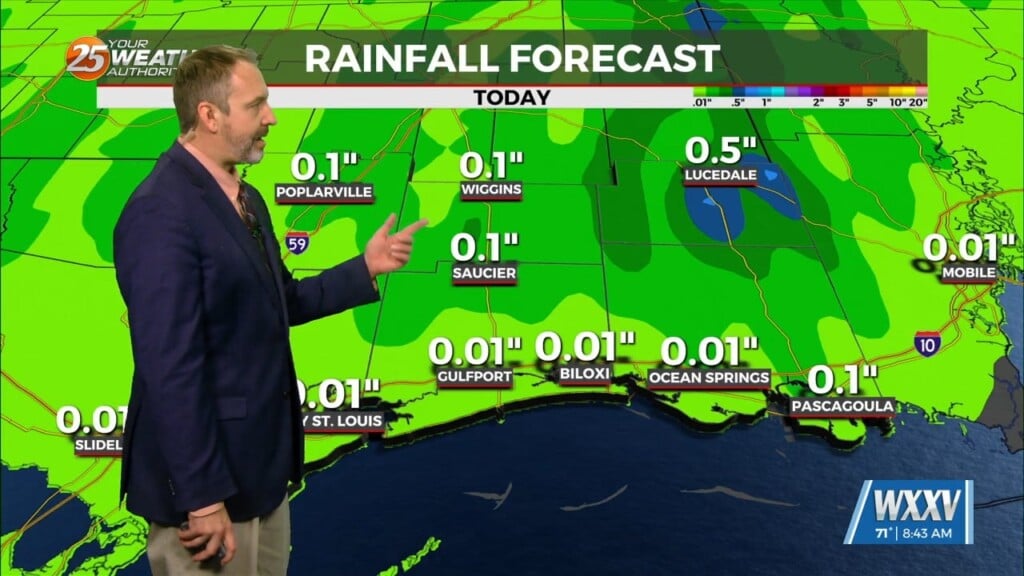
The pattern across the country remains complex. There’s a high pressure system extending from northern Mexico to the Great Lakes and areas of low pressure over the High Plains, southeastern Gulf of Mexico and New England. An area of dry air that was partially over the area has shifted southeastward as moisture is spread southeast. As we head into the overnight hours temperatures will drop to the low 70s with a chance of a shower. As for tomorrow there will be a 30 percent chance of showers and thunderstorms. This is due to a line of showers and thunderstorms that will develop tonight in the Central Plains and dive south across the area. All this activity and cloud cover will limit daytime highs to mostly mid/upper 80s.
The remainder of the forecast period looks to continue the daily rain chances. The upper low pressure over the High Plain will gradually move southeastward across the upper Mississippi and Ohio River Valleys from Tuesday through Thursday. At same time, the easterly wave over the eastern Gulf will slowly move westward. Areas south of I-10 where moisture content is greatest should see highest rain chances but still probably looking at 30-50% over our northern counties. It’s not until late this week into next weekend that rain chances fall off as the upper low pressure to the north shifts east and high pressure builds across the midsection of the country. Warmer temps will likely be in store after this weekend.


