8/9 – Sam Parker’s “Burn Ban” Friday Noon Forecast
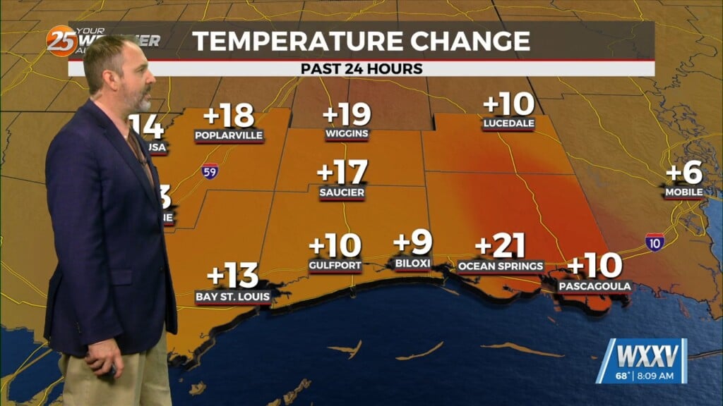
Very little change to our weather pattern today as a very weak frontal boundary moves through the region and pushes offshore and weak it shall be because the only change is the lower relative humidity values, across George and Stone county. Strong surface heating will also help mix some slightly drier air down during peak heating as well. This is good news at least for those inland given that the lower humidity will keep these locations from reaching heat advisory criteria today. However, the same cannot be said along the MS Gulf Coast where most will experience at least 108F real feel like temperatures. Aloft, the upper flow remains mostly northerly, which again is helping in terms of the mid and upper level dry air. Otherwise, temperatures with a northerly flow will warm close to 98F for most of the forecast areas. In other words, at least for the short term period, what you see is what you get and more continued very hot conditions will be present. We don’t want a repeat of yesterday having two fires yesterday afternoon because fires fuel for these conditions.


