8/31 – The Chief’s “Final Day of August” Thursday Morning Forecast
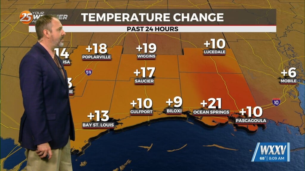
This morning there is a stationary cold front to the south of our area. A drier airmass is still in the area causing dew-points to be in the low to mid-60s which makes conditions really nice. This afternoon will be another day where heat indices will be a non-factor. As we head towards the overnight hours the front will retreat to the north causing isolated showers and thunderstorms after midnight into Friday morning…then continuing though the day.
On the first day of September an area of low pressure will form along the front elevating rain chances through the Labor Day weekend. This will aid in cooling high temperatures for the weekend into the upper 80s. rain chances decrease slightly Labor Day, however the front will still linger overhead.
The first full workweek in September will bring a drier airmass back to the region, as high pressure becomes the dominant feature again. This means mostly sunny conditions will return to the area on Wednesday decreasing rain chances to only a stray shower or thunderstorm.


