8/30 – Chris’s “Much Drier Today” Wednesday Afternoon Forecast
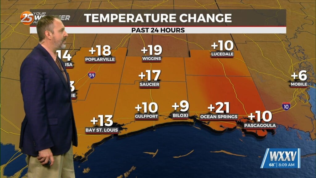
This afternoon a stalled cold front overhead or just to the north of the area will continue to usher in a drier air mass…a welcome change from what we have felt the last several weeks. Lower dew point temperatures in the 60s are slowly moving this way. Due to a drier airmass this afternoon, we will not be dealing with temperatures above the mid-90s. This will also allow ambient temps to cool efficiently tonight into the lower 70s. Thursday will be the same as dry air will remain locked along the coast. This will however bring up the problem of drying out again which will cause fire conditions to become volatile today and again on Thursday.
An upper level disturbance currently with a base over Oklahoma will continue to push southward with a surface stationary front to stall over the area this weekend. Idalia will be moving over the Atlantic by that time causing a wind shift back to the south in the area. A tropical wave currently located from western to Central America will continue moving west and eventually move northward. This, along with the stalled stationary front will help bring some deep tropical moisture back into the area Friday through Monday and should cause a good bit of showers and thunderstorms for your Labor Day weekend. The good news is temperatures will be below average this weekend and into the first full work week of September.


