8/29 – The Chief’s “Tracking Hurricane Idalia” Tuesday Afternoon Forecast
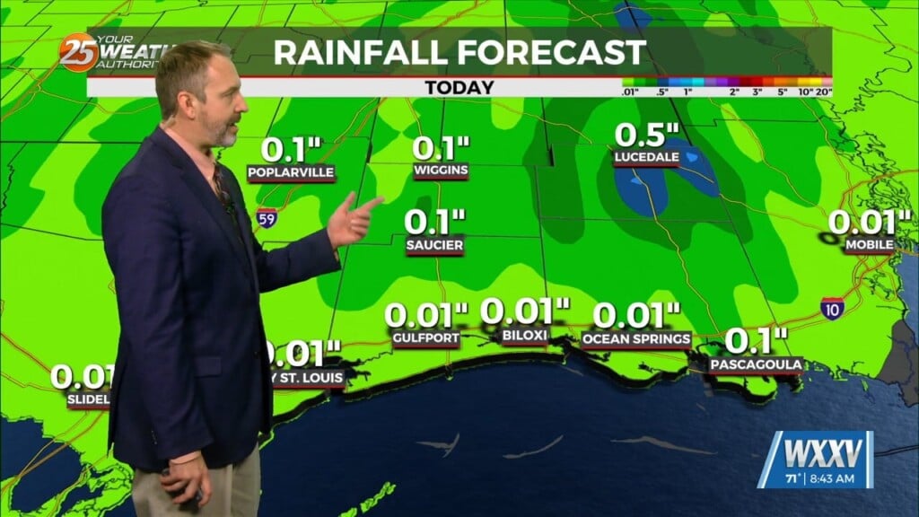
A weak cold front to the north will aid in showers and thunderstorms. Temperatures will stay lower this afternoon due to rain cooled air and the additional cloud coverage; however still just above normal for this time of year. No heat headlines today and possibly for Wednesday as well. However dry air will begin to filter in Wednesday as Hurricane Idalia makes landfall in NW’tern Florida and moves north of our latitude. This front will dry things out and with very low rain chances as the volatile fire conditions could come back.
Concerning Idalia, timing is always everything with any of these systems. It is currently Hurricane as it continues to move towards the big bend area of Florida where it will make landfall early Wednesday. Our area will have a Northeasterly flow which will cause less humidity in our area. This means much more manageable heat indices are expected for Wednesday. Friday through the holiday weekend, a cold front will push through the area aiding in elevated rain chances and below average temperatures through Sunday. Labor Day looks nice with below average high temps and lower rain chances.


