8/29 – The Chief’s “Final Days of August” Monday Morning Forecast
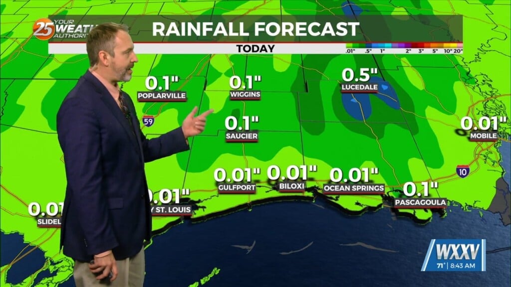
A strong surge of tropical moisture and upper diffluence is approaching the north central and NW gulf this morning. The deepest moisture surge will be into the NW gulf near Houston back toward Lake Charles where these values should top out around 2.4″. That is where we would expect the most showers/t-storms action as an inverted trough has also set up over that way while this turns more into a weak ridging pattern east of the Atchafalaya. But even with our area being on the periphery, we will get our share. But precip chances will show a gradient from higher west to lower east over the area. The heavy rainfall wording will be back with us as well with rates up to 4″/hr possible. This should hold true for Tuesday as well, but with some mid level dry air still in place, the potential for downbursts increases and downburst numbers have started rising for Tuesday. There are some low numbers today so there is a chance of getting some 30-40 mph winds with the strongest activity. There is a trough or better known as a back door front that slowly makes its way southward toward the area Wed into Wed night. This would become a new focus by Thursday for showers/t-storms activity, but that is past the short term of this forecast.
The upper level pattern in the start of the extended forecast shows a deep trough over the northeast U.S and a ridge amplifying over the western U.S. A large back-door frontal boundary looks to surge southwest, towards our neck of the woods on Thursday. This would also send a surge of mid-level dry air down into the area. Before everyone gets too excited about this, we will have to watch in the coming days how models continue to handle this feature.
Diving into the tropics a bit, a few models are consistent with the aggressive solution of a stronger tropical cyclone forming and heading into the bay of Campeche. It is still too early to tell so we will watch this area/system closely.


