8/19 – Brittany’s “Slightly Drier For the Weekend” Friday Evening Forecast
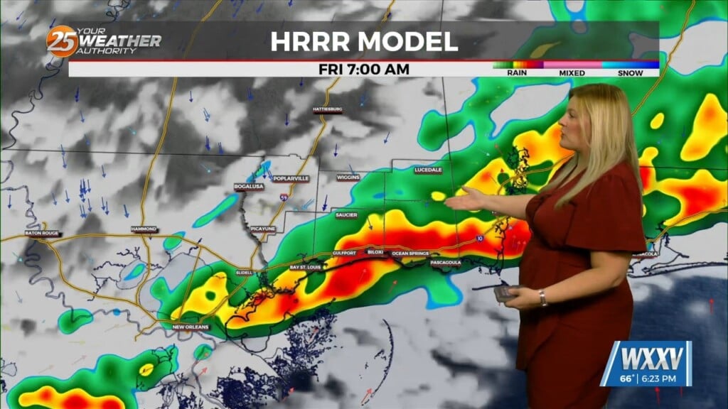
A weak front along the coast will dissipate by tomorrow. A more typical August pattern of high pressure extending westward across the eastern Gulf and into the coastal waters will then take hold tomorrow and continue through Monday. Winds will turn more southerly in response to this high. By Tuesday, another front will be approaching the coastal waters from the north, and this will bring an increased risk of thunderstorms with gusty winds and heavy rainfall to the area. Winds should also turn more easterly as the front approaches. as mid-level flow becomes primarily southwesterly, we will continue to have daily threats of showers and thunderstorms as impulses plow through the rather moist airmass. That should hold high temperatures in the 80s in most areas. If there`s a day that would be a bit more preferred to have warmer high temperatures, it would be tomorrow, when areal coverage might be a little bit less, especially over northern portions of the area.
Unfortunately, the longer range global models continue to show troughing and high moisture content across the area through much of next week. There`s going to be daily showers and thunderstorms across the area. While a specific location may not see showers or storms every day, operate under the assumption that it`s going to rain at least once each day more often than not next week. That`s going to stop temperatures from getting real hot, but humiditylevels will remain high, so no one`s really going to notice the difference.


