7/5 – Rob Martin’s “Wet Pattern To Weaken” Tuesday Night Forecast
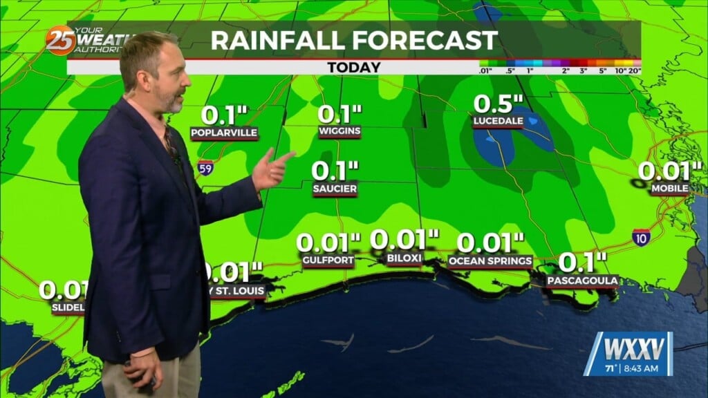
After some early rain it wasn’t too bad out there to round out July 5th afternoon and evening. Cloud cover certainly put a lid on temperatures today, as the atmosphere became more stable with residual cloud cover after earlier rains. Nothing more than a stray shower is expected Tuesday night, with the next round holding off until late Wednesday morning. Temperatures are again tricky with the cloud cover, but with less early activity Wednesday, it should be a hotter day.
For Wednesday and Thursday, building high-pressure becomes a bit more of a factor, as moisture flow drops a bit and we have no organized forcing. Storm coverage will trend downward a bit each day and develop a little later in the day. We’re going with 50% Wednesday and 30% Thursday. Tuesday will be the coolest day of the week, perhaps by a significant margin. As has been the case the last few days, we’ll have some or most locations reporting their high temperatures prior to noon Wednesday if cloud cover holds again, but that pattern will change to round out the week.
As we go into the weekend, drier air will move into the area for at least Friday and Saturday, with storm chances dropping to about 20%. A slow warming trend will top out then, with highs in the low-mid 90s and real-feels up to 105. Models attempt to push a frontal boundary into the area for Sunday and early next week, but confidence in an actual frontal passage is rather low.


