7/25 – Sam Parker’s “Outflow Boundary” Thursday Evening Forecast
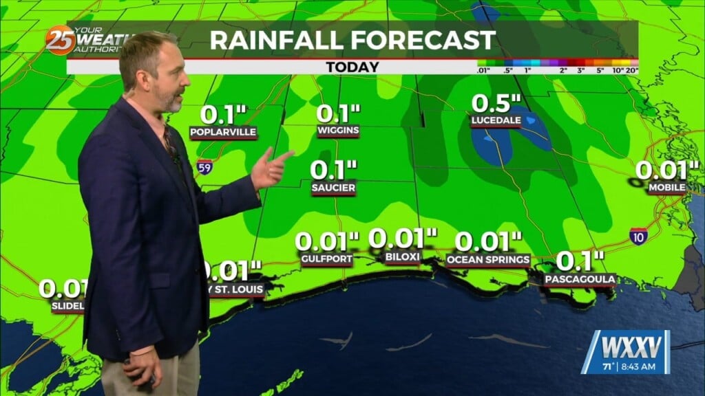
As we have experienced this week, we`re still in this wet but still pretty hot summer pattern. This evening I have been seeing many outflow boundaries kick start thunderstorms. Temps today remained in the high 80s with heat index values just in the low reaching 100. Short range models still suggest daily summer afternoon thunderstorms, and while these storms may not necessarily be jaw dropping, locally heavy rainfall can happen in places where thunderstorm chances tend to be higher. Going into Saturday, the models support the upper lever flows that has been stationed over the area finally moving towards the east coast. While this can be good in terms of catching a break from all the heavy rain we`ve been seeing, this does suggest a small increase in temperatures in the future.


