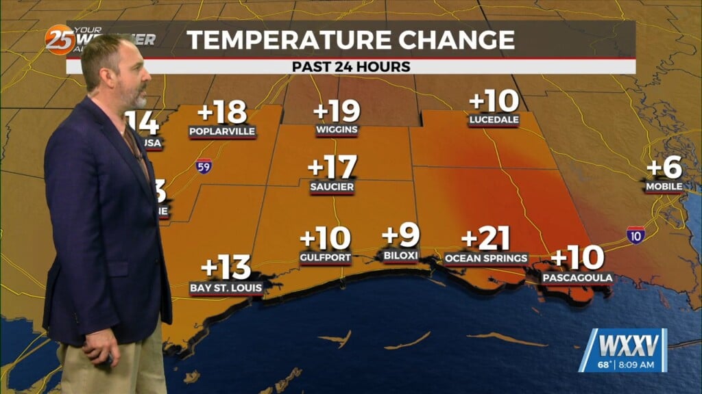
7/22 – Sam Parker’s “Wet and Warm” Monday Evening Forecast
Summer afternoon thunderstorms are gradually propagating northeasterly into southern Mississippi. These storms will be capable of heavy downpours, frequent lightning, and gusty winds. After sunset, showers and storms will wane per usual for this time of year and then we await overnight development offshore but in land we should stay dry. The primary features dictating our pop ups and subsequently temperatures in the short term remain the lingering mid-level troughing held up over the central US which is aiding lift along the northern Gulf Coast. This will be further enhanced by the approach of a weak surface trough by Tuesday night. While Tuesday morning convective coverage should start out pretty comparable to today, these factors should result in more widespread coverage breaking out through the afternoon and moving northward. These showers and storms may persist longer into the evening as well due to instability.


