7/22 – Sam Lucey’s “Very Warm and Humid” Tuesday Evening Forecast
Leading to a Hot and Stormy Stretch Ahead
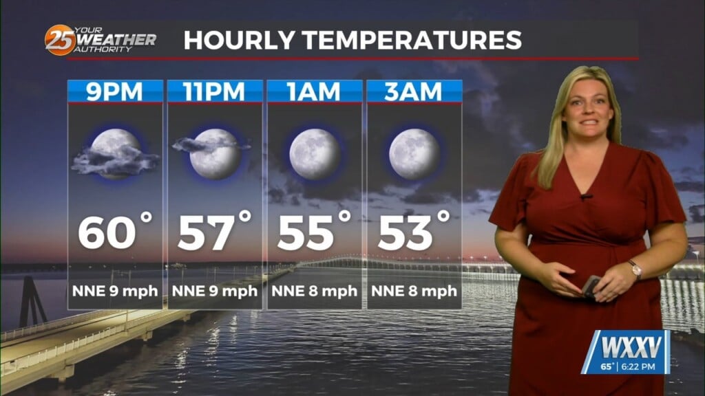
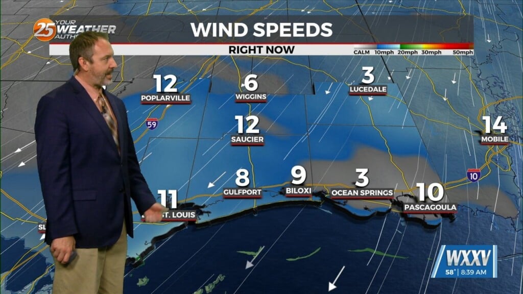
We’re in for a warm, mostly clear and dry night tonight with lows near 79 and light winds across the area.
By Wednesday, we’re looking at a pretty hot day in store for us. Highs will soar to around 97, and it could feel as hot as 110 in the afternoon. An Extreme Heat Warning is in effect from 10 AM to 7 PM, so be sure to stay cool and hydrated, taking frequent breaks if spending extended time outdoors. Storm chances increase in the afternoon as well, with a better shot at rain Wednesday night.
By Thursday, we are expecting a much more active pattern. Widespread showers and storms are likely throughout the day and into the night, with highs near 90. The rain continues into Friday, keeping things a bit closer to average with highs in the upper 80s
Looking ahead to the weekend, Saturday will be warm and unsettled with more showers and storms likely through the afternoon. Conditions improve by Saturday night with clearing skies, and Sunday brings more sun and a slight chance of storms.
Once the rain chance begins to taper off next week, we are looking at the potential for dangerous heat across South Mississippi. We will continue to keep you updated on-air and on our social media pages as well.