7/19 – Rob Martin’s “Looking Hotter Wednesday” Tuesday Evening Forecast
Pascagoula again led the way with a real-feel temp of 110 at 1 PM today. Heat advisories were up for Pearl River/Hancock counties, and will repeat on Wednesday. Some cloud cover kept a lid on temperatures today, but we might not be as fortunate tomorrow.
Strong high pressure will continue to shape the forecast with hot temperatures and low rain potential due. The best chance for t-storms will be along the Mississippi Gulf Coast and extreme southeast Louisiana both this evening and Wednesday. Low level southerly return flow will continue to draw rich low level moisture into the area. With temperatures gradually increasing and low level moisture maintenance taking place during max heating, heat index values will begin exceeding advisory criteria (108°) starting today and likely continuing on Wednesday as well. With high pressure continuing to spread closer to our vicinity only going with lower end rain chances at this time where a few showers and storms cannot be ruled out along the afternoon sea-breeze boundary.
Elevated heat concern as high temperatures consistently reach the mid-90s across the area starting Thursday with the coastal areas in the low 90s. The high relative humidity values will make way for heat indices peaking in the 100s every day. As far as precipitation, this will be very typical for summertime in southeast LA and south MS. It will be mostly diurnally driven as rain chances peak around the afternoon and evening time-frame each day and decreasing in the late evening as the sun goes down.
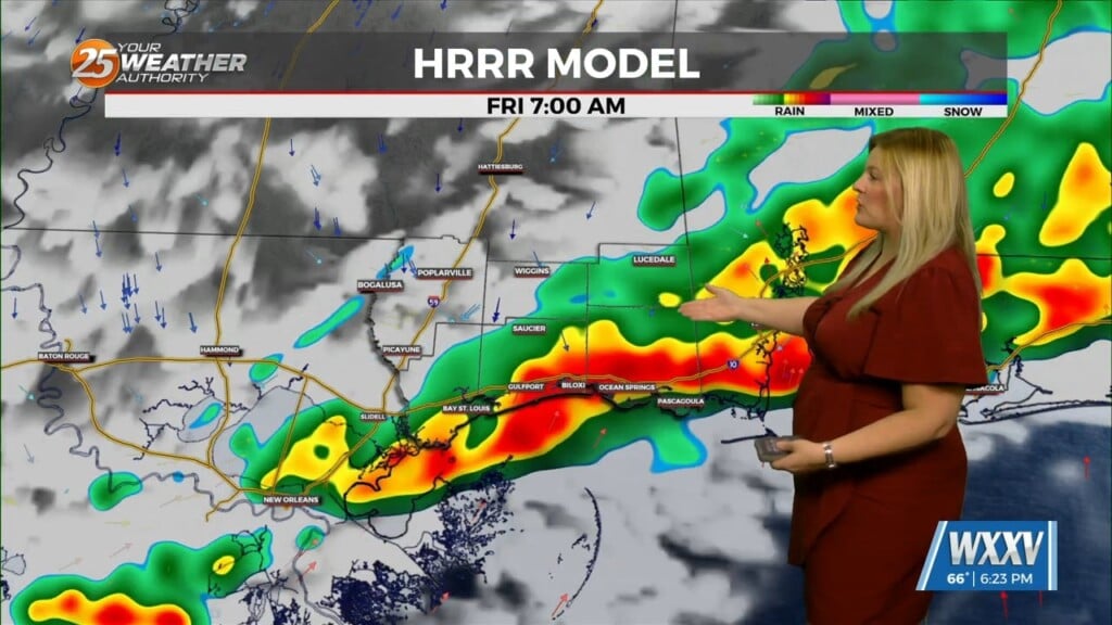
T-storm chances will be at their lowest on Wednesday (20-30%), and climb to about 50% Friday as the high loses it’s grip a bit. The high will build back for the weekend, lowering storm chances but heat will continue.


