7/14 – Rob Martin’s “Into The Weekend” Thursday Evening Forecast
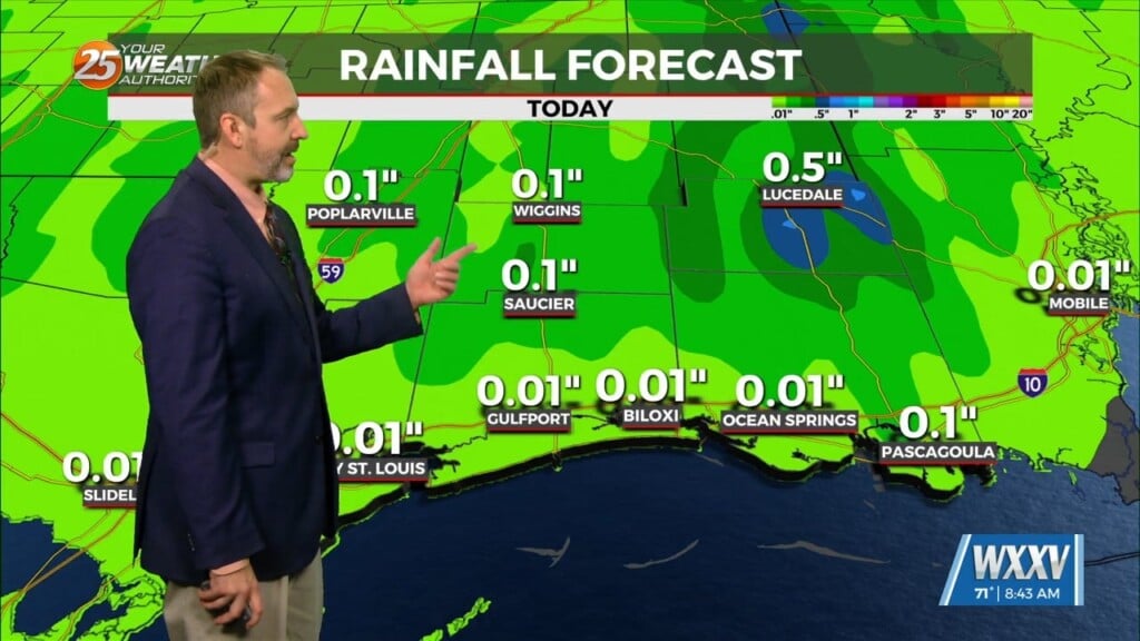
Storms and rain will diminish overnight before returning Friday afternoon. We had active weather late this afternoon, with a severe t-storm in George County and a flood advisory in Stone County. This is in advance of a nearly stalled frontal boundary to our north that’s moving quite slowly. A trough farther north tried to bring the front to the area but doesn’t appear it will ever make it here. Adding more complexity to the setup, there’s also the Bermuda high pressure extending into the far eastern Gulf of Mexico and a weakness between it and the ridge to the west. Abundant moisture exists along the western edge of the Bermuda ridge from the northern Gulf of Mexico…northeastward towards the Carolinas.
For 3-4 days in a row, models have been over forecasting coverage, but Thursday they did quite well. The main concern with any storms into Friday will be hourly rainfall rates which could be quite intense…on the order of 2 to 4″ in an hour. If any of the stronger storms develop over urban areas, could see some flash flooding. On Friday and Saturday, forecast models show the eastern edge of the high centered to the west trying to expand farther east. This would suppress t-storm development, especially on the northern half of the area. However, the front to north will barely budge, so Friday’s setup could be similar to today’s closer to the coast. The long term portion of the forecast is fairly consistent from day to day and fairly summer-like. This time of year, if there’s not a strong high pressure right over the area, it’s going to be rainy.
Thus, we’ll continue with afternoon pop-up downpours from the weekend through next week, although coverage will be lower. Temperatures will also trend up next week, back into the low-mid 90s for highs.


