7/13 – Rob Martin’s “Heaviest Rains Tomorrow” Wednesday Evening Forecast
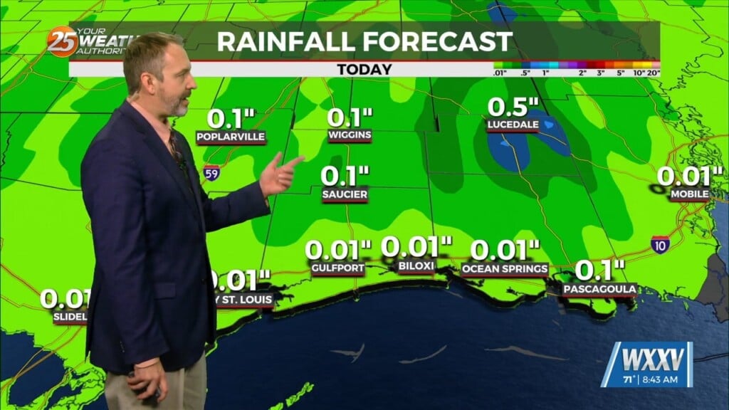
The low that caused yesterday’s rain has moved on, and our current frontal boundary ove the northern Gulf is rather diffuse, so an about-face here…we’re not expecting much in the way of rain tonight. T-storm activity will drop off to our north this evening, but there’s still heavy rain on the slate tomorrow.
Thursday will just be a continuation of diurnally driven convection, mainly focused along another frontal boundary that will sag southward across the area and converge with diurnal convection over the gulf. Very weak steering currents are very hard for forecast models to analyze, but there is a bit more of a consensus with the current trends.
As Friday comes, the boundary should effectively be dissipated and subsidence looks to creep in from the ridge still situated west of the region. This should result in a drop in coverage and overall intensity. A very stagnant pattern looks to set up across the country for the remainder of the forecast period.
Once that front dissipates later Friday, we’ll return to more of a 30% chance of scattered storms over the weekend. Temperatures will also start an upward trend next week.


