7/11 – Rob Martin’s “Watching The Tropics” Monday Evening Forecast
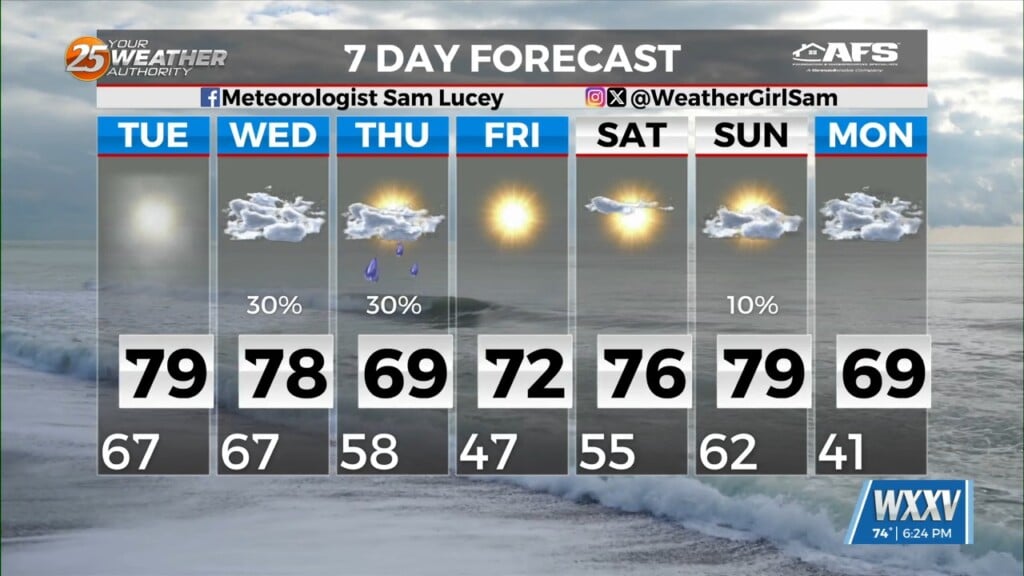
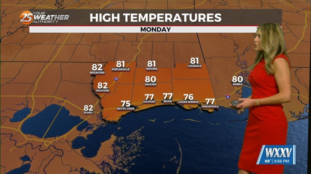
Still hot today with enough sunshine to get those real-feels in the 103 – 108 range. A stationary front along the coast will drift north and south for several days, providing spotty storms and the potential for heavy rain. If there’s some good news, it is that today and tomorrow don’t look as wet as some of the earlier forecasts had indicated. The comparative lack of precipitation, unfortunately, means that high temperatures should get into the lower and middle 90s today, and closer to 90 Tuesday. Heat index values should mainly top out in the 103-108 range today, and a bit lower Tuesday.
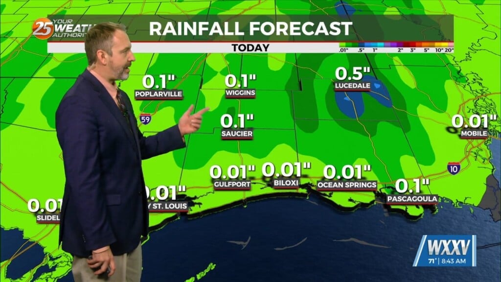
With high pressure to the west and east, there’s really no place for the front over the north central Gulf to go, so it will sit there over 85-89F water. It’ll probably drift a bit northwestward toward our coastal areas tomorrow and Wednesday. Rain chances increase appropriately, getting into the over-50% range across about the southern two thirds of our area, mainly during the daytime hours.
There’s at least some threat of this disturbance to slowly acquire tropical characteristics later in the week as it sits over an abundance of warm water. That isn’t expected to occur in the next couple of days, though. In fact, latest analysis has this happening (if it does) Friday and Saturday, as opposed to the Wed/Thursday outlook just yesterday. Regardless of whether it does acquire tropical characteristics, rain and thunderstorms are going to be an issue for much of the week, especially across the southeast half of our area. Rain amounts through this week could exceed 4-6″. Isolated higher amounts will be possible, but the heaviest rains are now expected later in the week. Clouds and precipitation will hold high temperatures down a bit on Tuesday and Wednesday for most of the area, and perhaps even more so later in the week.


