6/7 – The Chief’s “Warm And Humid Start” Wednesday Morning Forecast
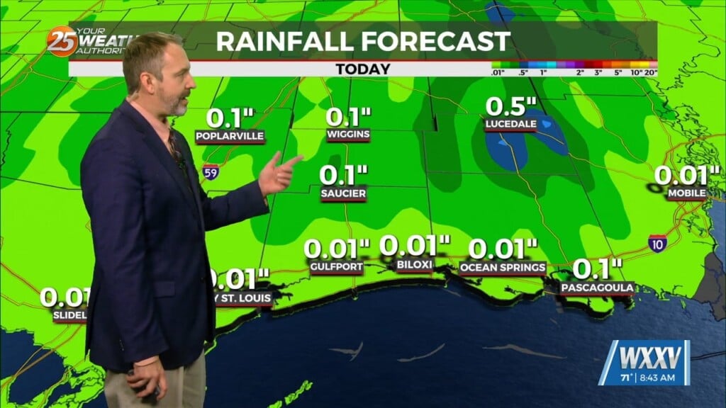
Overnight showers & t-storms in the outer coastal will continue to move towards the coast early this morning and dissipate. Hot temperatures ahead with high pressure to the NW and a weak/dissipating stationary front to the SE. The typical summertime pattern will continue as daytime heating will induce the sea-breeze and along with the additional instability from the stationary front…pop afternoon shows/t-storms. Rain chances through the weekend will continue to be in the 30-40% range.
A weak cool front will move its way to the Gulf South Friday. It will move overhead and then to the east allowing for some dry air to push into the area. This drier air mass will be slightly noticeable Saturday but rapidly begin to modify. High pressure will quickly move back into the area and shape the forecast into early next week. The next system to bring significant rainfall will come Tuesday into Wednesday next week.


