6/26 – Sam’s “Hot and Rainy” Thursday Evening Forecast
Rain chances increase heading into the weekend across South Mississippi. On Friday, scattered showers and storms are possible by late morning and into the afternoon as the sea breeze kicks up. Some spots could see a quick downpour with up to a half inch of rain. Otherwise, clouds will continue to move in with highs topping out around 90°.
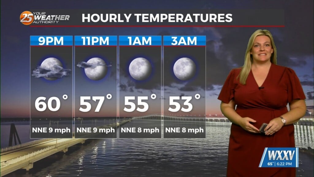
A few showers may linger Friday night, but most areas will stay partly cloudy with lows in the mid 70s.
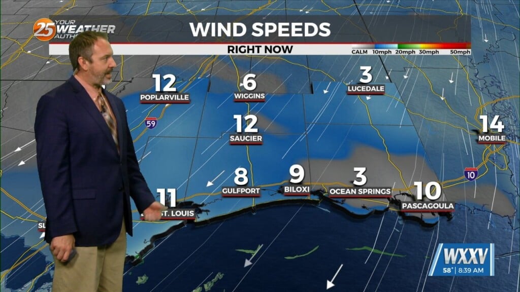
Saturday and Sunday will bring a better chance for storms, especially in the afternoon. Expect a mix of sun and clouds both days, with highs near 90° and typical summertime humidity. South to southwest winds will stay light, and some storms could produce brief heavy rain and gusty winds.
Evenings will stay warm and muggy, with a few leftover showers or storms possible each night. Keep an eye on the radar if you have outdoor plans this weekend.
The tropics are beginning to show more activity with an area to watch just to the east of the Yucatan Peninsula. The National Hurricane Center has given this area a 20% chance of development over the next 7 days, but it’s not looking very favorable.