6/23 – Trey Tonnessen’s “Heat Index” Sunday Night Forecast
Meteorologist Trey Tonnessen
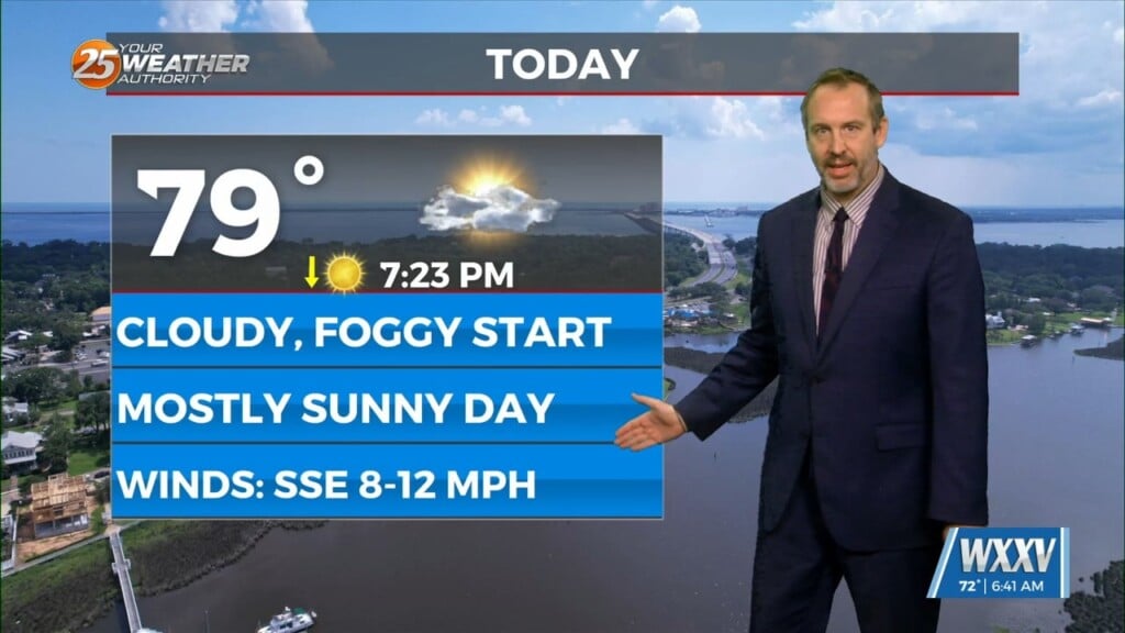
Monday will be another above average temperature
day, but with higher surface dewpoints as southerly flow becomes better established. This will both raise daytime peak heat indices and introduce the chance for afternoon thunderstorms. Those should initially be primarily on sea-breeze boundaries. General southwestward propagation is expected with northeast mid/upper level flow in place but outflow boundaries could certainly modify that. Back to the temperatures, with highs similar to today but higher dewpoints will yield widespread heat indices around 110. While convective coverage and late initiation time shouldn’t have much effect on the heat advisory verifying Monday, Tuesday is more questionable.