6/20 – Night Rob’s “Heat Advisories To Return” Monday Evening Forecast
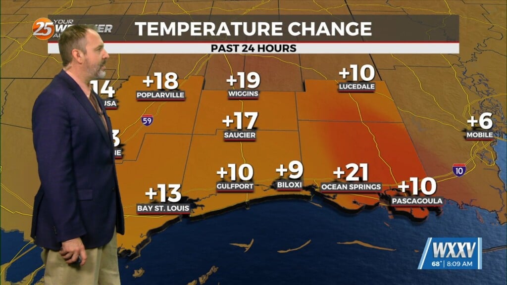
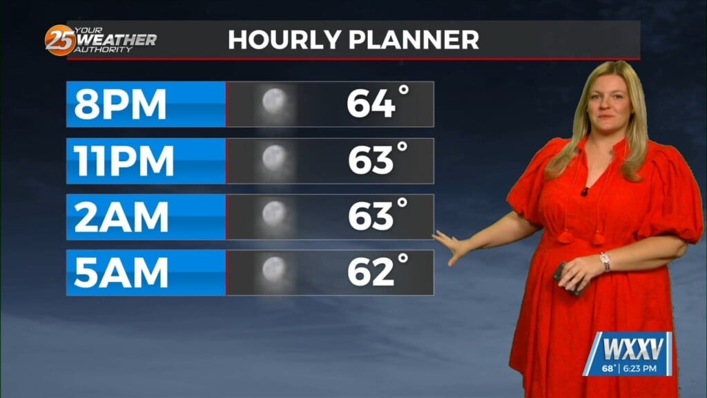
Although no heat advisory was posted today, temps were up compared to Sunday, and that trend will continue. Gulfport hit a real-feel of 106 and Pascagoula hit 109, and this is just the beginning. A heat advisory will likely be needed for Tuesday through the rest of the week. A sea breeze will get initiated around noon along the Mississippi coast and this should help get some thunderstorms started will inland this afternoon/evening. A few of these may be able to keep going after dark but for the most part, this activity will dissipate with the exception of marine showers/t-storms. This should basically repeat again Tuesday but maybe farther west along the coast of SE LA.
A blocking high-pressure will remain through much of the week over the central part of the nation. The center of this high pressure will meander throughout Arkansas, LA and TX through the end of the week. Afterwards, this high will begin to flatten out north to south; this will cause the high to build back toward the southwest U.S. by the end of the week through the weekend. Guidance continues to give this year hottest temps to come Thursday as the map may be littered with 100s that afternoon/evening. Rain/storm chances will be low this week, which is a bit problematic as we’re running behind on rainfall again. Next week will bring changes and open the area to a more normal distribution of summer showers/t-storms and somewhat cooler temps over the area.


