6/2 – The Chief’s “Hot & Humid” Friday Morning Forecast
What a quick change since yesterday morning with Tropical Depression Two forming yesterday afternoon. This happened because it is easier
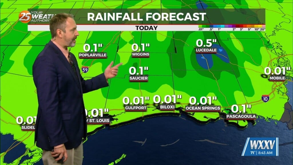
for a small system to tighten up than a much larger system. By late morning or this afternoon we could have a Tropical Storm on our hands. Regardless if the system strengthens or not our lack of effects stays the same. In the local area we will experience a strong surge of dry air. This will keep our rain chances today and for much of the weekend at a minimal. This dry air in place is not going to make things nice as far as temperatures go since it will help the area heat up in to the upper 80s. Saturday will see some moisture move back into the area late in the day paired with daytime heating giving us a small chance of an afternoon shower or thunderstorm. As for the start of the work week we will be in the typical summer time pattern for Monday through Thursday with temperatures in the mid-80s, Small chance of a afternoon shower or thunderstorm exist thru Wednesday. Then on Thursday we have a disturbance moving thru increasing or rain chances.


