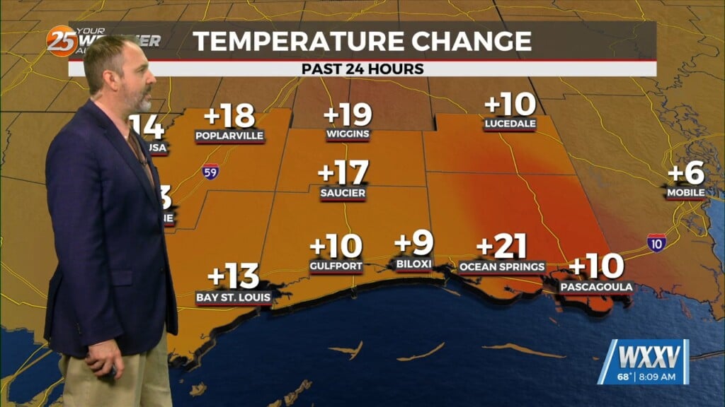
6/19 The Chief’s “Heat Advisory and Severe Potential ” Monday Morning Forecast
A Heat Advisory will be in effect from 11am to 7pm. How long can our NW to westerly upper flow continue to dominate our area? Some, even though slight, changes to the new normal of this NW flow will be noticed starting today in that this will cause a line of t-storms to move farther south. No difference in intensity of thunderstorms either as severe thunderstorms and very heavy rainfall will continue to be the normal with this daily activity expect through the end of the workweek. The area is under a “SLIGHT” risk for severe thunderstorms today and tomorrow. The highest potential of flooding looks to be Tuesday as a disturbance slows to a crawl as it nears the area. A front, although very weak will move into the area by Tuesday night into Wednesday very slowly. While this front transits the area slowly, flooding could occur Tuesday and again Wednesday. The front looks to be over the gulf before stalling late Wednesday. Dry air will move in Friday keeping storms over the coastal areas and offshore. This dry air will also keep our temperatures down slightly “back to seasonal temperatures” through the end of the workweek.


