6/16 – Trey Tonnessen’s “Heavy Rain & Storms” Sunday Night Forecast
Meteorologist Trey Tonnessen
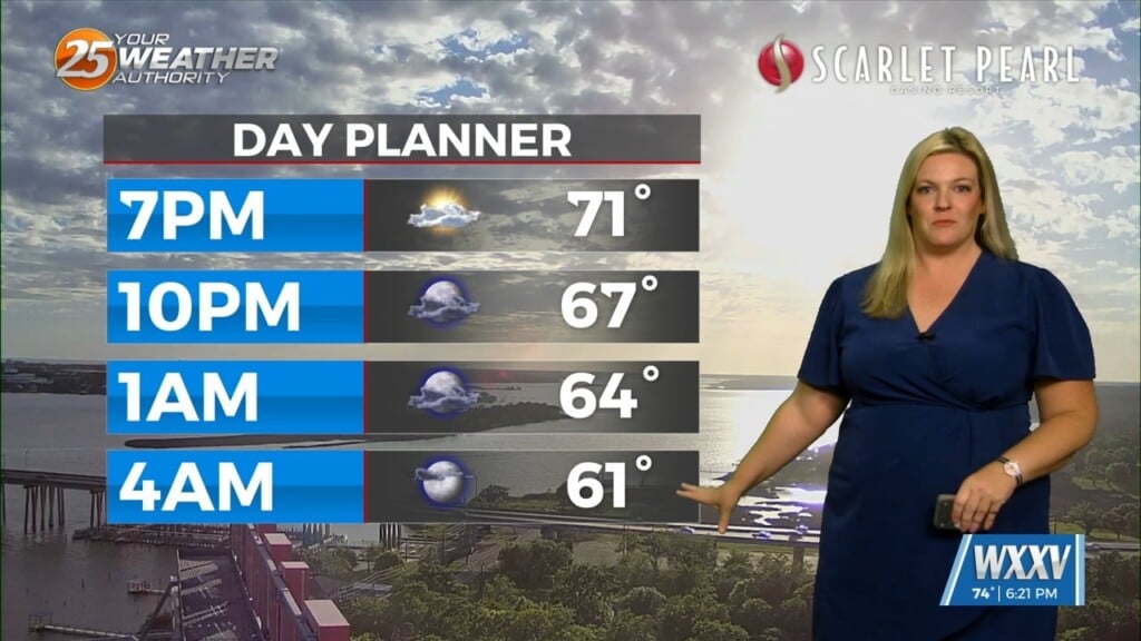
A bit of a break in showers and storms this evening outside of a few isolated showers across mainly the local waters. A few showers will remain possible overnight as deep tropical moisture continues to surge northward from the western Caribbean. Nocturnal convection will be possible over the waters and this is where the highest rain chances will reside through the overnight hours…updated rain chances to reflect this minor change. Scattered showers and thunderstorms in association with a weak inverted surface trough continue to move inland over southeast LA this afternoon. Primary impacts are heavy downpours, lightning, and gusty winds in excess of 30-40 mph. This activity will gradually wane into the evening hours as daytime heating dissipates and weak subsidence from high pressure on the back side of the trough moves in. This will create a lull in rainfall tonight through early Monday morning.


