6/12 – Trey Tonnessen’s “Reality Check” Thursday Evening Forecast
Meteorologist Trey Tonnessen
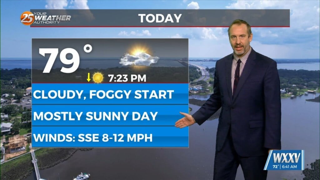
The old frontal boundary continues to linger near the southeast Louisiana coastline, where convection has bubbled up in the last hour or so. The Central American Gyre aids in the development of low pressure near or over the Bay of Campeche early next week, which would keep low level flow southeasterly and the deepest moisture offshore. It certainly won`t be entirely dry early next week, but we`re probably looking at more diurnally driven convection as early as Sunday afternoon continuing through mid-week with scattered areal coverage. High temperatures will be driven by where and when convection occurs from Sunday onward with drier solutions being hotter, not surprisingly. Didn`t depart from NBM deterministic values from Sunday onward.