6/12 Night Rob’s “Heat Advisory Repeats” Sunday Night Forecast
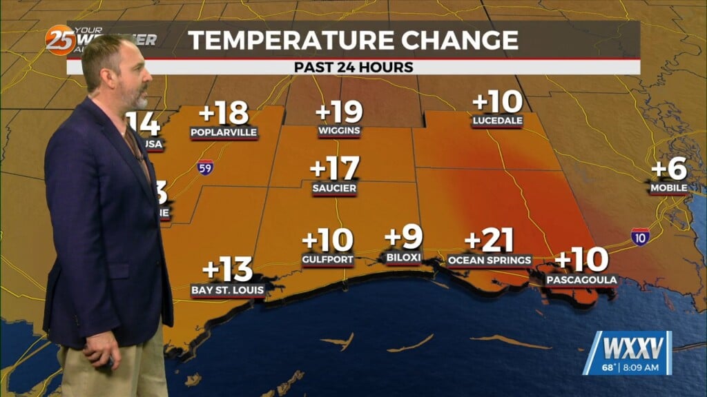
Our first heat advisory of the season was posted today, and will repeat for Monday. We’re expecting heat index (real-feel temps factoring in humidity) in the 105-110° range both days, so take it easy out there and stay hydrated.
High pressure originating from the desert southwest is building into the area. It should be centered over the Arkansas/Louisiana region by Sunday evening. Subsidence (sinking air) from this high pressure system will substantially limit thunderstorms compared to previous days. However, we could still see some scattered afternoon thunderstorms with coverage in the 20 to 30% range. Main impacts will be brief heavy rainfall and gusty winds. Storm directions will likely be erratic and slow. Thus, will be continuing the western-zones heat advisory issued yesterday for today, and expanded it to include coastal Mississippi counties, including Monday.
That high will continue eastward, reaching eastern Tennessee/ western North Carolina by Tuesday. This will likely completely shut off any storms from forming. Forecast humidity is looking to be a little lower after Monday, so we may be just under heat advisory criteria for those days. Latest trends indicate that the upper level high centered northeast of us Tuesday will just reverse back west to northwestward and expand through the rest of this week. This solution would support at least a couple more dry days with temperatures rising again later in the week. We could see highs reaching well into the 90s which may lead to heat advisory conditions again say, by Thursday or Friday. At some point the high will move away far enough to allow storms again. This would also be at the tail end of the week, coinciding with the hottest temps.


