5/6 – Trey Tonnessen’s “Humid Feeling” Monday Night Forecast
Meteorologist Trey Tonnessen
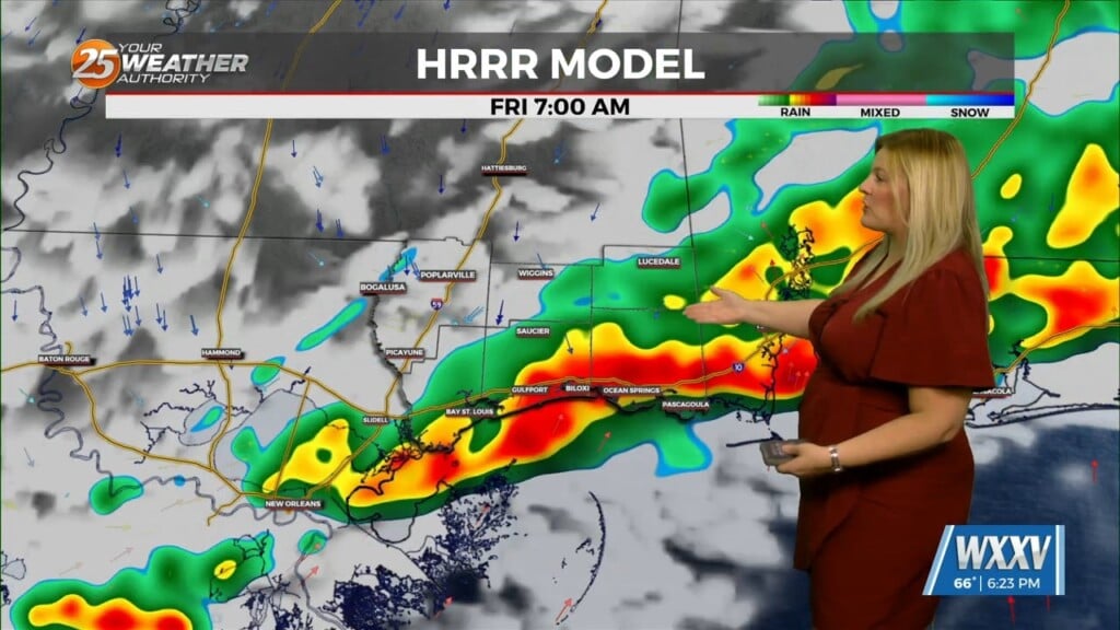
Monday was another in a string of days here on the Mississippi Gulf Coast in which Mother Nature has looked fondly on us. Things don’t look much different into Tuesday, but another factor to watch for will be just how much speed shear develops in response to the passage of an 100 knot jet streak co-located with the vort max. Effective layer speed shear values of 50 to 60 knots could occur just as the convection begins to develop, and this will support tilted updrafts and the prospect of scattered strong to severe thunderstorms Thursday afternoon into Thursday evening. Based on the model sounding profiles, damaging wind gusts will be the primary concern. Later in the night, generally after midnight Thursday night, the jet streak will pass to the east and a surface front will begin to push across the area. Overall shear values will decrease substantially and the threat of severe convection should diminish. In addition to the thunderstorm risk Thursday afternoon into Thursday evening, compressional heating in advance of the front should allow highs to warm into the upper 80s across much of the viewing area.
As always: A cloudy day is no match for a sunny disposition. Be nice to each other.
-Meteorologist Trey Tonnessen


