5/5 – Trey Tonnessen’s “Cinco de Mayo” Sunday Night Forecast
Meteorologist Trey Tonnessen
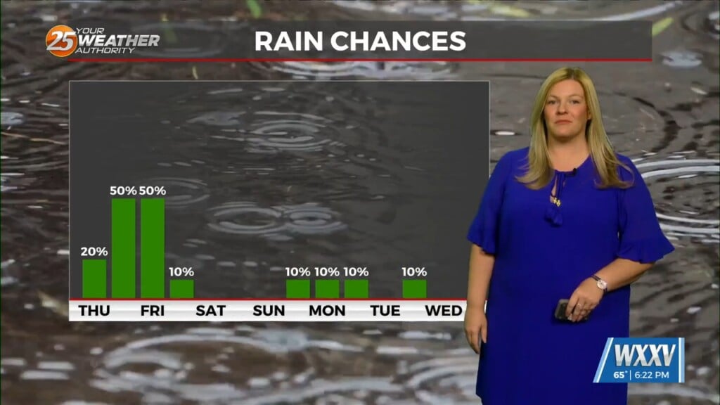
A shortwave ridge axis will remain over the area through Tuesday night, and this will help suppress most convective activity even as a series of weak shortwave features rides over the top of the ridge axis and through the Lower Mississippi Valley. At most, an isolated to widely scattered shower or storm could develop during peak heating hours tomorrow afternoon and again on Tuesday afternoon, and the most likely area for development will be across Southwest Mississippi and portions of Louisiana to the north of I-12. Any convection will remain weak and low-topped as a fairly strong capping inversion in the mid-levels remains in place. Any convection will quickly dissipate after sunset with dry conditions expected by the early evening hours both tonight, tomorrow night, and Tuesday night.
As always: A cloudy day is no match for a sunny disposition. Be nice to each other.
-Meteorologist Trey Tonnessen


