5/31 – Night Rob’s “Early June” Tuesday Evening Forecast
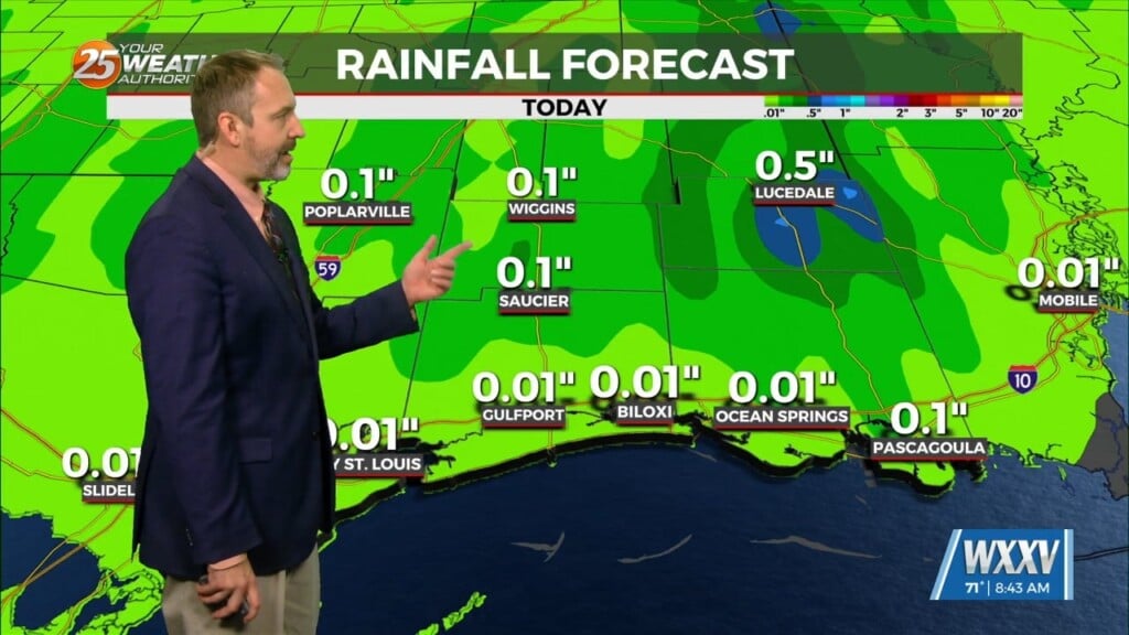
A typical summer pattern of afternoon/evening slow-moving storms is on display this final day in May. The southeast flow will continue this scenario through mid-week. These types of storms pop up quickly and tend to rain themselves out while moving slowly, then dissipate shortly after sunset. This means about a 20-30% chance through the work week. Overnight temps will generally be in the lower 70s, with highs in the upper 80s through Thursday.
Later in the week an area of low pressure in the southeast gulf will generate more of an offshore flow for us, slightly reducing chances for storms, but increasing our daytime temperature. The ridge now situated to our southwest will also expand back northeast. This will likely bring slightly drier conditions with highs nudging 90 near the coast, and into the low/mid 90s inland from Friday into the weekend. Hello June!


