5/3 – Rob Martin’s “No Cool-Down Expected” Tuesday Night Forecast
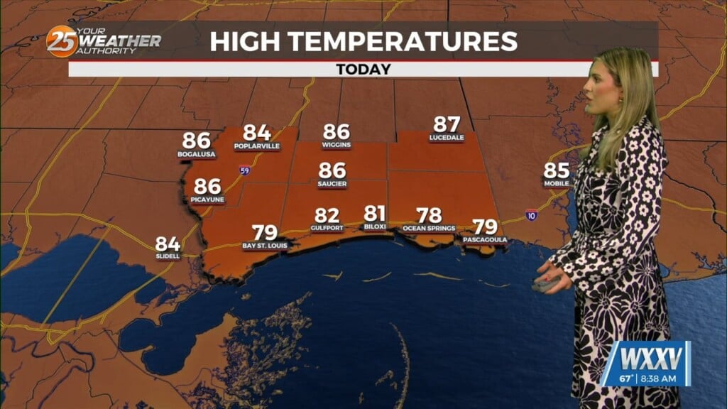
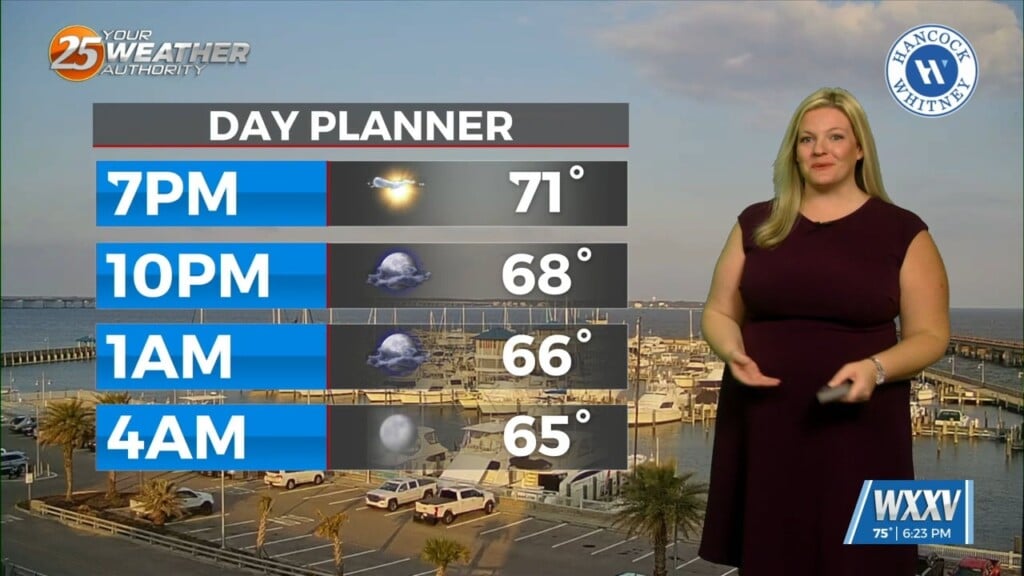
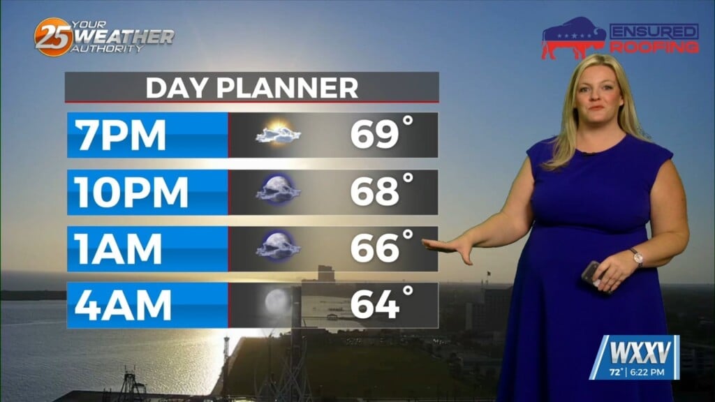
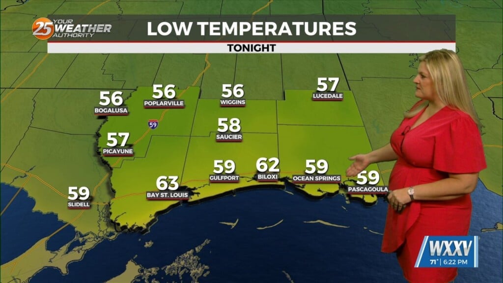
It’s been warm and it’s going to get warmer in the extended period. The Monday-night low of 77 degrees at the Gulfport-Biloxi Airport tied a record-warm minimum temperature for the date. Quiet conditions will continue in the short-term as the warm and humid flow dominates, with only spotty showers expected through Thursday. A more unsettled weather pattern develops Thursday night into early Saturday as a cold front finally tries to get through the area. This will be our best chance at thunderstorms and significant rain in general. Fortunately, the strong dynamic forcing associated with this and the overall severe weather threat will be displaced well north of the forecast area. Showers and t-storms will affect the area Friday into Friday night, with weaker, more-scattered activity possible early Saturday.
A brief period of weak high-pressure should develop over the area Friday night after earlier storms depart. However, the forecast on Saturday is a bit tricky. A deep layer northwest flow pattern should be in place, and there are indications that a minor disturbance embedded within this flow could sweep down from the southern Plains. This could bring a complex of t-storms to the area early Saturday. By Sunday, strong high-pressure will be in full control of the forecast area. This will result in a return to hot and humid conditions with little in the way of cloud development. In fact, this will likely be the hottest day yet of the year with highs easily climbing into the lower 90s inland. Even coastal areas will get to the upper 80s then. Overnight temps will remain elevated throughout the entire period.


