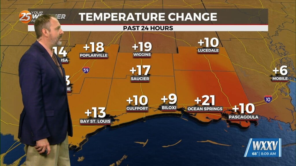
5/28 – The Chief’s “VERY…VERY Hot” Tuesday Afternoon Forecast
A stationary front overhead will be the focal point for activity into the weekend. This boundary will help a very large complex of elevated storms develop later today near the Red River Valley. This complex should do two things, one is massively cold pool southward toward the surface boundary causing all kinds of severe Wx over central TX today as it becomes surface based. Smaller disturbances from this will be able to use the frontal boundary to ride eastward as well. This will act as a conduit for our area.
The rest of this afternoon will bring sunny skies and very hot temperatures in the low 90s. With a cool pool to the NW moving into the area Wednesday, temperatures will glide back into the mid-80s for daytime high temperatures thought the weekend. Wednesday afternoon could bring a few spotty showers/t-storms to the area with an uptick in activity to around 30% Thursday. Friday will once again be dry as a minor disturbance to the west moving into the area for the weekend. Although the energy will not be enough to spark activity on its own, daytime heat will enhance the disturbance with a 50% chance for afternoon showers/t-storms Saturday and Sunday.


