5/23 – The Chief’s “Warming Trend” Thursday Morning Forecast
A disturbance moving east over central Mississippi this morning will help cause some shower activity over the northern half of the area. There will be some boundaries from this activity left over the area as well which could serve as a focus. There could be enough heating coupled with these boundaries to provide a few showers and maybe even a t-storm. There won’t be many but we have increased precip numbers to show this trend. If there are a few showers/t-storms that develop during the afternoon, they will simply cool things down with some beneficial rain but will also decay after sunset. Friday looks to be a bit different as there should be even less activity around than what will be seen today.
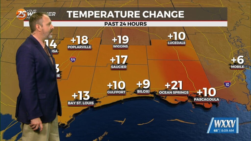
Temps will increase slightly each day through Monday as we should begin to see some mid-90s by the weekend. These temps are from 6 to 8 degrees above normal levels for this time of year. We will also be in the vicinity of a few record highs around the area over the weekend but several sites have records in the upper 90s and even a few at or just above 100F. So we are in that time of year when it starts to get a bit hot. Heat index values will also rise to around the 105F area as we get into Monday with higher moisture content in the boundary layer. A stalled front over central TX will get some added forcing by Monday morning to start moving our way. This front should be here by Monday night or early Tuesday. It could provide some showers or even a storm or two but it will help to dry things out a bit with lower dew-points.


