5/2 – Night Rob’s “AC Needed” Monday Evening Forecast
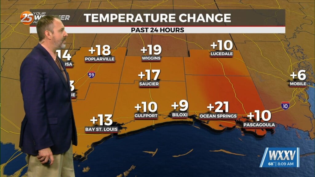
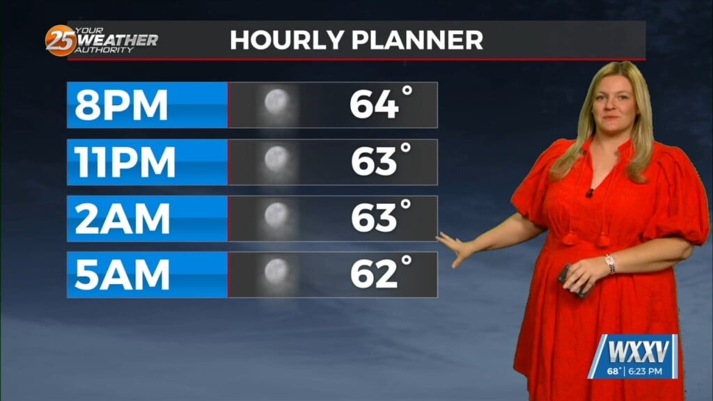
Summer-like nights and late spring-like days will continue. We’ll bottom out in the lower 70s tonight, and back into the mid 80s Tuesday. We can’t rule out some patchy fog late-nights if the breezes calm down enough. For tomorrow and Wednesday, it’s fairly likely that several locations will see their first 90 degree day of the year on one of the two days. Only very spotty showers or storms could occur through early week.
High pressure will begin to lose grip on the area but will hold on enough on Thursday to keep rain chances down and temperatures very warm and even into the lower 90s across inland parts of the area. Going into Thursday night, a closed low will traverse the Central Plains dragging a front into a slow progression towards the area. The front will increase rain chances Thursday night and early Friday, especially across southwest Mississippi, but a frontal passage is not expected at this time. Some strong storms are still possible with this on Friday. Much above normal temperatures will continue through the weekend.


