4/8 – Trey Tonnessen’s “Increased Moisture” Monday Evening Forecast
Meteorologist Trey Tonnessen
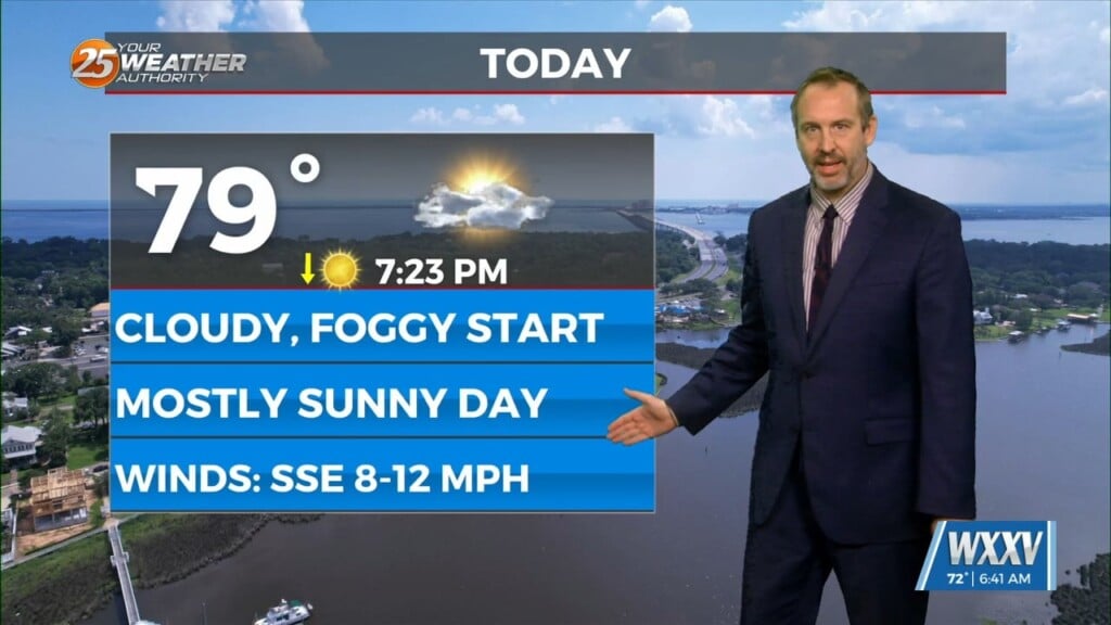
Upper ridging from Florida to the eastern Great Lakes this afternoon. Upper lows over Minnesota and western Arizona. At the surface, high pressure along the Carolina coast,, with low pressure over Wisconsin. A frontal boundary extended from the Wisconsin low to Oklahoma and west Texas. Scattered showers and a few thunderstorms were generally near and north of Interstate 10 this afternoon. The precipitation had cooled temperatures to the upper 60s to mid 70s. Most or all of the precipitation should continue to move to the north and northeast into Mississippi and Alabama near or shortly after sunset. Forecast soundings hold precipitable water values near 1.3 inches later tonight and Tuesday, which should help in keeping any precipitation development on the isolated side through at least Tuesday evening. Similar to today, we should see some rather filtered sunshine, allowing temperatures to get into the upper 70s to lower 80s.
As always: A cloudy day is no match for a sunny disposition. Be nice to each other.
-Meteorologist Trey Tonnessen