4/7 – Rob Martin’s “Chilly Nights/Splendid Days” Thursday Evening Forecast
A sustained north to northwesterly flow will continue to reinforce surges of cool, dry air into the region over the next 24 hours. The only real noticeable impact will be to have several surges of gusty winds, mainly during the daytime hours the next few days. Sunshine abounds, and we may not see any clouds until Sunday, as moisture flow will be very low. The air mass will be rather dry, with dew points mainly in the 30s across the area, and wouldn’t be surprised to see values even lower in a few places.
This puts relative humidity in the 20-30% for much of the gulf coast, and has even prompted a red flag warning for our Alabama coastline neighbors. Although there are no advisories here, any outdoor burning through tomorrow should be done with caution.
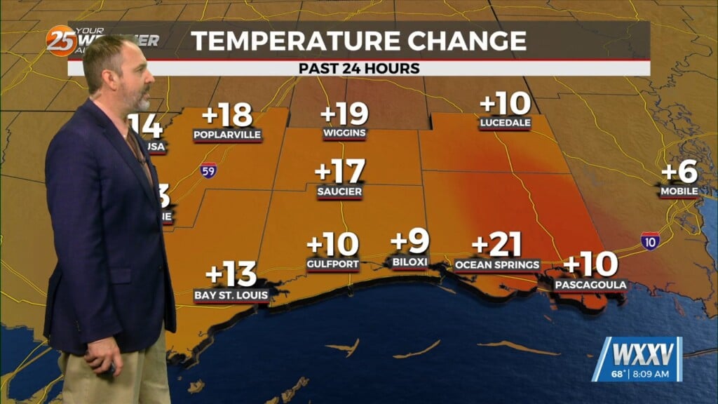
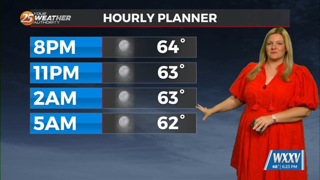
As for temperatures, it’ll be unseasonably chilly the next two nights, with lows in the low to mid 40s tonight, and a bit cooler than that late Friday night. If winds calm down enough, colder locations could see readings in the upper 30s by daybreak Saturday. Afternoon temps will actually rebound close to seasonable norms under sunny skies.
A warming trend begins Sunday as high pressure in the gulf shifts slightly east, bringing in a light southerly flow. That pattern amplifies Monday, initiating more of a breezy day, warmer temps, and increasing humidity. The next t-storm/rain threat looks to arrive around Tuesday.


