4/6 – The Chief’s “Isolated T-Storms” Thursday Afternoon Forecast
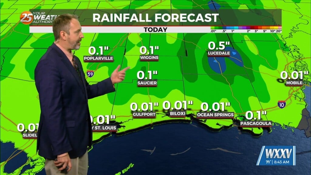
The main story for today will be increased rain chances as what has been mentioned for days now as a front slowly drifts east into our area. How this front interacts and plays out with coverage, storm mode, and associated minor threats will be focused on in this portion of the discussion closely, then we’ll transition into Friday where rain and storms are expected to continue.
Models continue to confidently indicate the cold front approaching western areas this morning, continuing east through the area throughout the daytime hours. By peak diurnal heating takes over combined with a modest zone of frontal lift/convergence in place to ignite thunderstorms along the front. The front continues to sag E/SE overnight going into the early parts of Friday. Meanwhile back to our west, more large-scale response of convection/stratiform rain takes shape within a zone of maximized instability as a subtle/weak disturbance rides along the boundary.
Good news as we enter the long-range as guidance has begun to come in better agreement about rain chances this weekend. Another disturbance will affect the area riding E/NE along the slow moving front which could bring another bout of heavy rain to the area Saturday. Sunday the front will push a little further south and showers/t-storms should clear by mid-morning Easter Sunday.


