4/30 – Trey Tonnessen’s “Locked In” Tuesday Night Forecast
Meteorologist Trey Tonnessen
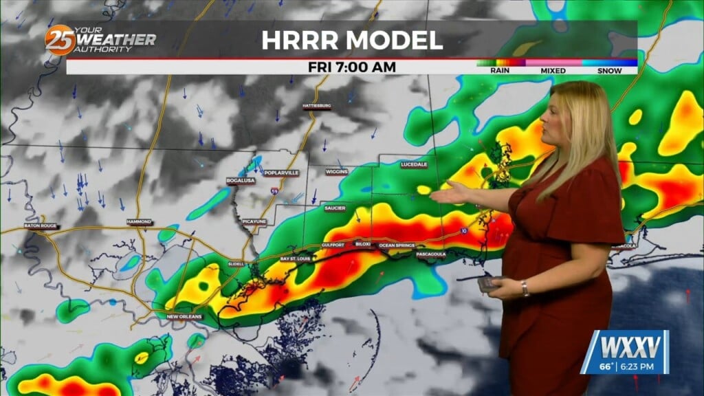
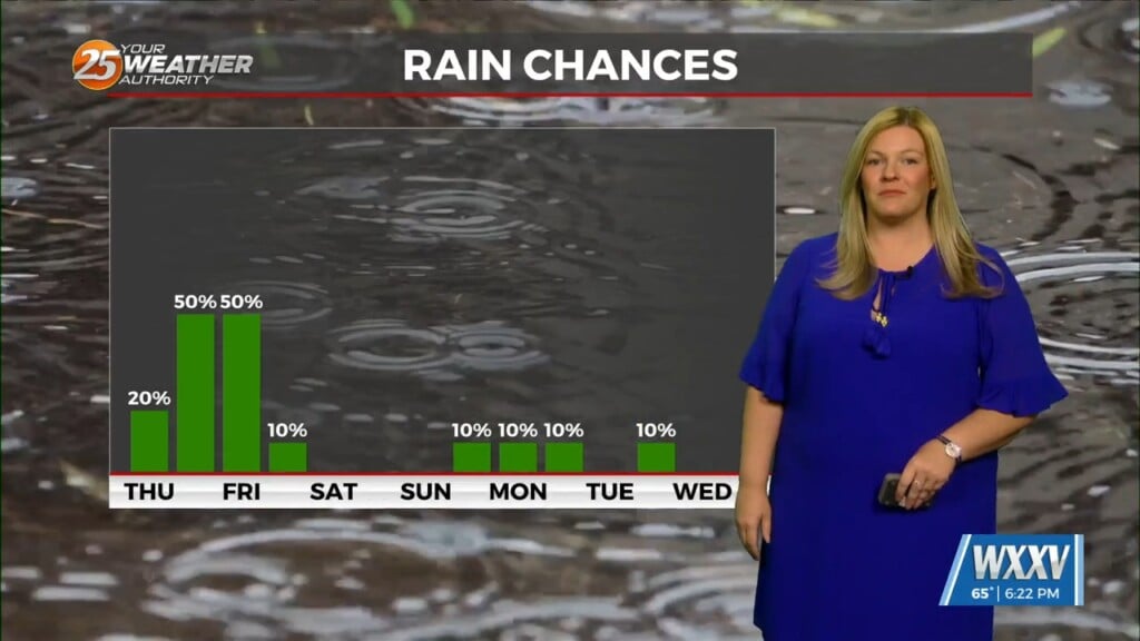
The Mississippi Gulf Coast is officially locked in to the shifting weather patterns that will eventually start trend towards a more late spring and early summer feel. A series of weak and fast moving shortwave troughs will ride up and over the mid to upper level ridge axis from Thursday through Monday. Most of the strongest forcing associated with these troughs will remain displaced to the north of our area, but enough cooling and forcing aloft should support the development of some isolated to scattered convection each day. Initially, the ridge will still be the most dominant feature over the area on Thursday, and this will greatly limit convective potential as mid-level lapse rates remain weak. The main impact from this system will be an increase in high level cloud cover and slightly cooler daytime highs in the mid 80s.
As always: A cloudy day is no match for a sunny disposition. Be nice to each other.
-Meteorologist Trey Tonnessen


