4/30 – The Chief’s “Improving Conditions” Tuesday Morning Forecast
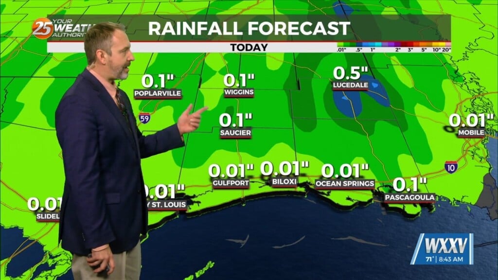
Fog has been an issue this morning and will continue to be a factor through the weekend. The cloudy skies are hanging on over areas where the dense fog advisory is not valid. This cloud cover is expected to hand on through sunrise in these areas. Some showers/t-storms are also hanging on over the sound. The cloud cover will slowly move east and provide for sunny skies this afternoon.
The moisture is now in place for fog again tonight. And again, it will be a radiation fog night as well so areas where there are no cloudy cover and calm winds will likely see this again tonight/Wednesday morning. A weakness in the pattern over Houston to the SE well offshore will begin to move back to the north later today and should be near or just on the coast by Wednesday. It may be just enough to help a few showers/t-storms develop with heating. Widespread rain or storms are not expected with this, but it could bring some rain to areas in and around the Atchafalaya Basin.
Fog will remain a concern for Wednesday night/Thursday morning as there will still be enough moisture trapped in the low-levels. A complex of t-storms looks to break away from the front over central TX Thursday and move rapidly east along the interstate 20 corridor. At the same time, a cold front will orient east/west near the Missouri/Arkansas line and stall. This will help keep an unsettled environment along and south of this line as several disturbances move over and south of this line for the next several days Thursday, but they will stay well to our north.


