4/28 – Trey Tonnessen’s “Expecting Rain” Sunday Night Forecast
Meteorologist Trey Tonnessen
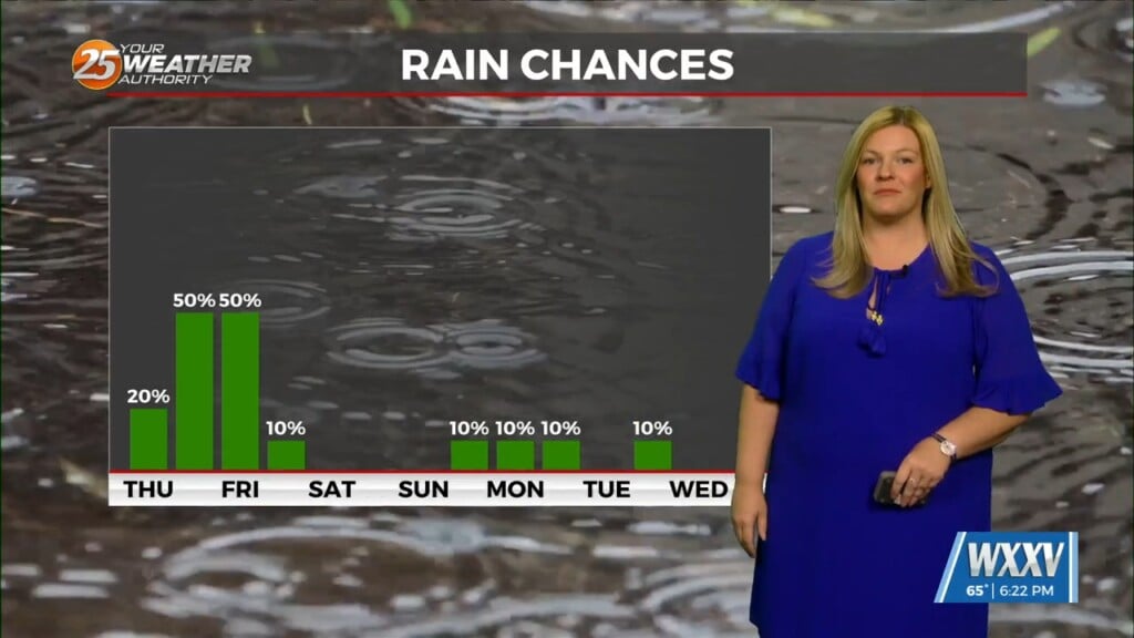
Some isolated showers are ongoing now due to warm advection, but there is not a lot of environmental support for these storms. That means, in our area they should be fairly weak and short lived with a few spots accumulating around 0.1 Inches of rain. The concern tonight and the first half of Monday is the elevated gusty winds. That is thanks to a tightened pressure gradient between low pressure to our northwest and high pressure to our east. With high pressure drifting eastward, winds have decreased slightly but still is gusty at times.
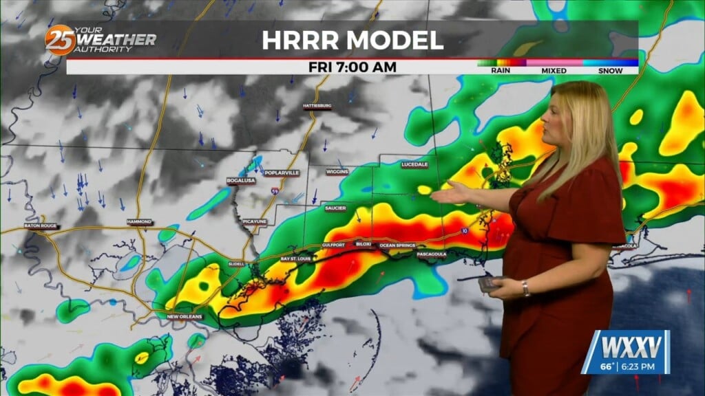
Due to the southeasterly winds, eastern facing shores will have some coastal flooding issues with the wind piling the water up during a high tide cycle later tonight. Tides should peak early tonight and then begin dropping. As the winds should be on the decrease by the time the next high tide cycle rolls though, a majority of today’s flood watches were allowed to expire this evening. Monday morning, a line of convection is forecasted to move though the area. Timing is still a bit uncertain as it depends on the formation of convection in eastern Texas and how quickly it then moves here. Right now there are a few storms starting to bloom up at the tail end of a decaying line of convection near eastern Texas and western Louisiana.


