4/25 – Rob Martin’s “Last Week Of April” Monday Evening Forecast
A cold front is on the way, but it’s moving slowly. Showers and thunderstorms ahead of the front late this afternoon will weaken as they enter our forecast area this evening. It will remain mild tonight. A lack of any strong winds aloft means storms won’t be organized but modest instability could supports decent buoyancy which may produce a few storms with small hail in our western areas.
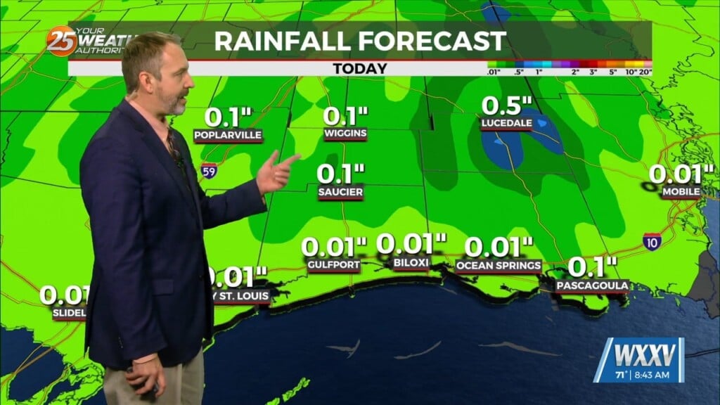
The front will slow its southward advance considerably this evening. It’ll still move through the area tonight, but fairly slowly. Without daytime heating, convection looks to be minimal with showers along and behind the boundary. Another disturbance will ride along the main front and track across the MS River Valley Tuesday, which is the final push that gets the front to the Gulf of Mexico. We could see a few showers along/south of I-10 between daybreak and noon, but that’s about it. A drier air mass moves in Tuesday night into Wednesday. This will knock down temps to around 80 degrees, which is pretty much normal for this time of year.
High-pressure will be the main feature impacting the forecast across the Gulf South on Thursday and Friday. With this strong ridging in place, ample subsidence can be expected throughout the atmospheric column. This will result in largely clear skies, lower humidity, and a larger than average day-night range both days. Highs will warm into the low to mid 80s as we reach week’s end. Lows will cool into the 50s and lower 60s.
Humidity will ramp up by next weekend, and it’ll start to feel a bit more like summer around that time.


