4/24 – Trey Tonnessen’s “Outdoor” Wednesday Night Forecast
Meteorologist Trey Tonnessen
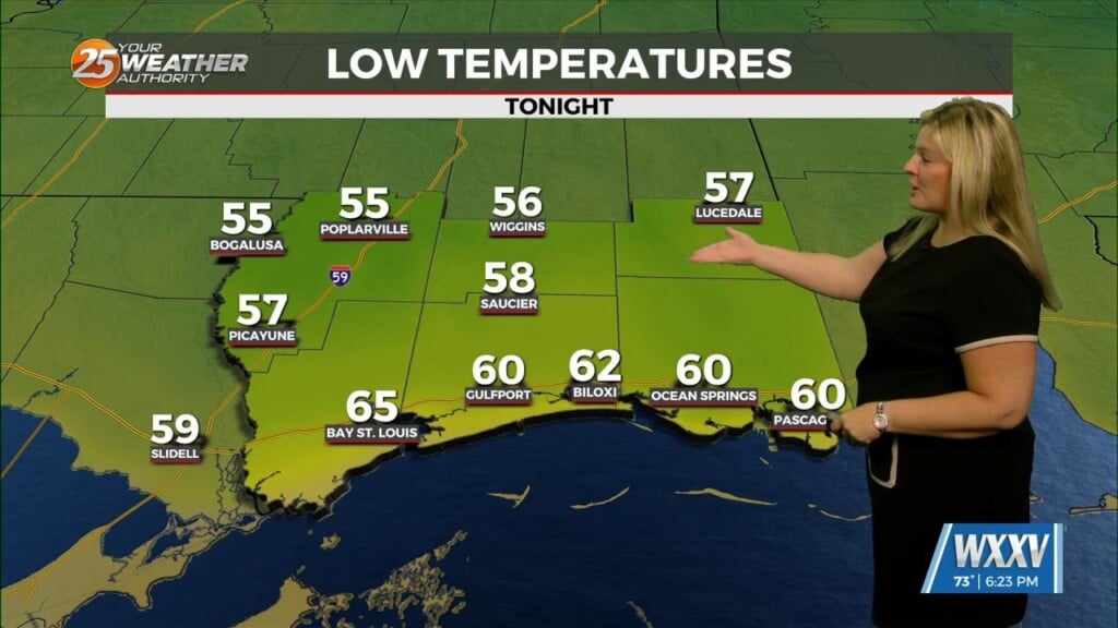
Earlier cloud cover over the northern half of the area has dissipated as expected. Hourly temperature/dew point trends are tracking well at present. Models continue to be a rather mixed bag on fog development toward sunrise. Depending on the model source, they range from a few patches of fog to being widespread. We had talked about patchy fog earlier in the forecast, and that seems to still be steady into Wednesday night. Past tonight, a large scale trough will reside across the Rockies and western half of the US. A modest ridge will remain in place across the east as the long term period begins, leaving our region in an active southwesterly flow aloft.
As always: A cloudy day is no match for a sunny disposition. Be nice to each other.
-Meteorologist Trey Tonnessen


