4/23 – Trey Tonnessen’s “Staying Cool” Tuesday Night Forecast
Meteorologist Trey Tonnessen
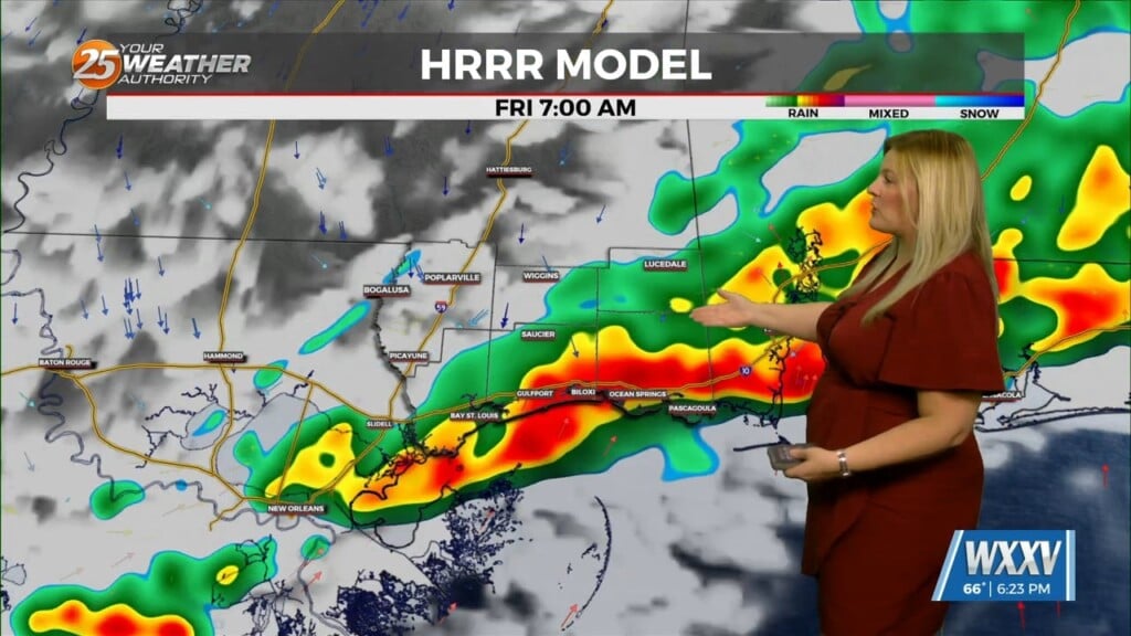
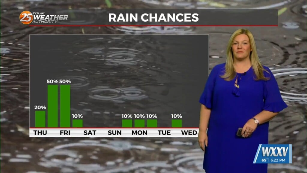
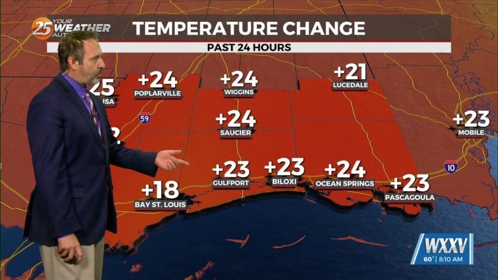
The second half of our forecast starts out with the stalled front just to our north and east. Again, ahead of the front there could be some morning fog, however, as pressure gradient tightens between a high to our east and a strengthening surface low over the high plains, this will become less of a concern late in the week. The northwesterly flow on the eastern periphery of a ridge axis over Texas will eventually transition to a southwesterly flow by Friday as a strong trough begins to amplify over the central plains. This trough will suppress the upper ridge across the Gulf of Mexico…as such the heights and thicknesses will increase across the region, allowing for the warming trend to continue before balancing out later in the weekend or early next week. A cold front stalls upstream early in the weekend close to the Sabine River and ArkLaTex region. This will likely keep most rain chances up that way this weekend.
As always: A cloudy day is no match for a sunny disposition. Be nice to each other.
-Meteorologist Trey Tonnessen


